Bay Area Weather Outlook Calls For Warm, Dry Holidays With A Wet Start To 2015
SAN FRANCISCO (CBS SF) - The Bay Area is in the middle of a third straight wet week, but things will change dramatically this weekend, allowing the region to dry out for much of the rest of 2014.
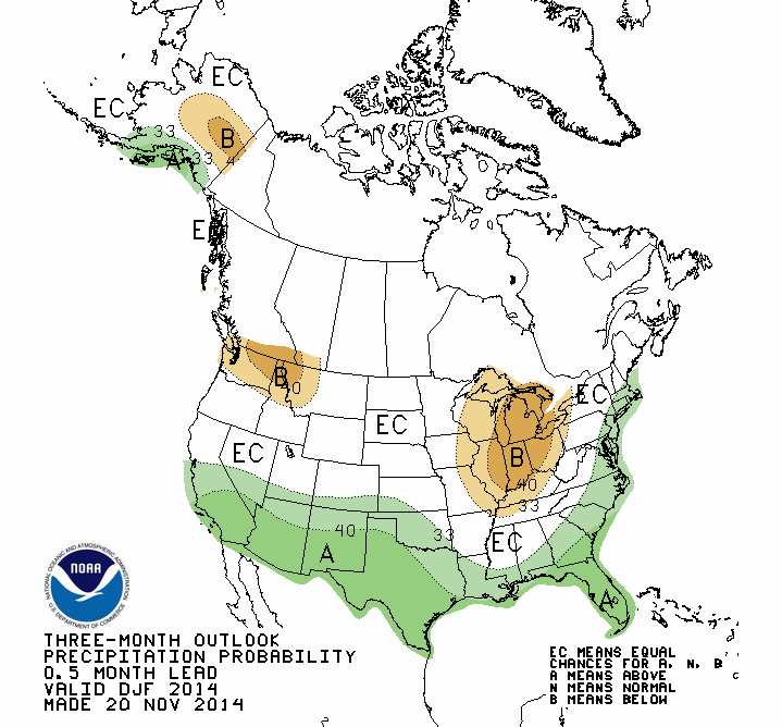
The eight to 14 day outlook from the National Weather service calls for the last two weeks of the year to be 40 percent drier than normal for the end of December.
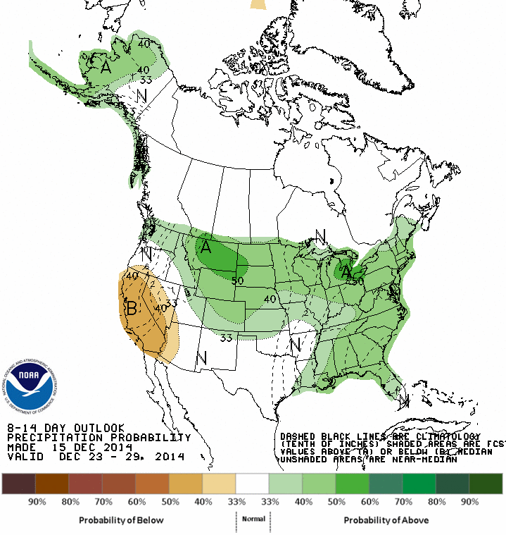
"After Friday we will have drying until Christmas day with a chance of rain (at that point)," reports KPIX 5's Roberta Gonzales said Tuesday. "That the National Weather Service nailed it as far as the temperatures are concerned. We have been averaging well above normal for the entire month of December, just realizing normal temperatures the past two days."
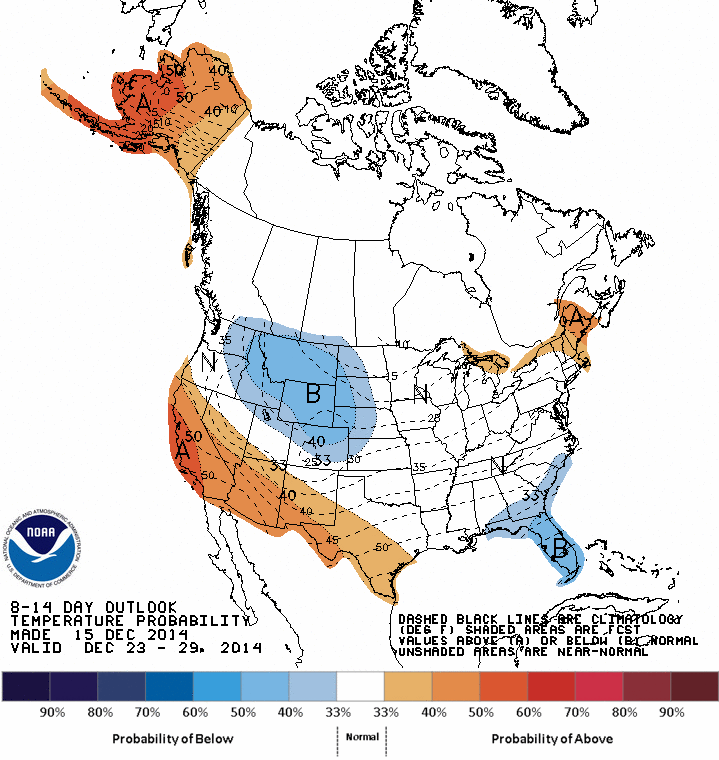
Through the holidays, warmer than normal temperatures appear likely for the entire state, particularly on the coast.
After we flip the calendar, the outlook calls for a return to a wetter weather pattern, with the entire region hitting the normal or above normal rainfall range well into March.
KPIX 5 Weather Center: Get the latest forecast and an hour-by-hour outlook for your zip code
The warmer storm activity is great news for our reservoirs, but doesn't provide as much value to the snow pack, which the Bay Area relies on as water bank during the warmer months of the year.
Get the latest Storm News: