Wintry June Storm Brings Thunder, Rain, Snow to Bay Area and Sierra
SACRAMENTO (CBS SF) -- A rare bout of late spring thunder, lightning and hail is moving across parts of the Bay Area Sunday, pushed along by a low-pressure system that is also bringing snow to the Sierra.
CHECK LOCAL WEATHER FORECAST AND TRAFFIC CONDITIONS
The system powered up early Sunday afternoon as a line of thunderstorms developed over central Napa County, according to National Weather Service meteorologist Will Pi.
The storms materialized along a line that stretched from roughly Santa Rosa to Calistoga and began moving south toward Solano County from there, Pi said.
The chaotic weather system is the result of low pressure and cold temperatures in the upper atmosphere that mingled with the relatively warm surface temperatures to create "a very unstable air mass," according to Pi.
The most heavily impacted areas can expect sustained winds of up to 25 mph and gusts up to 40 mph, in addition to more thunder, lightning, rain and maybe hail.
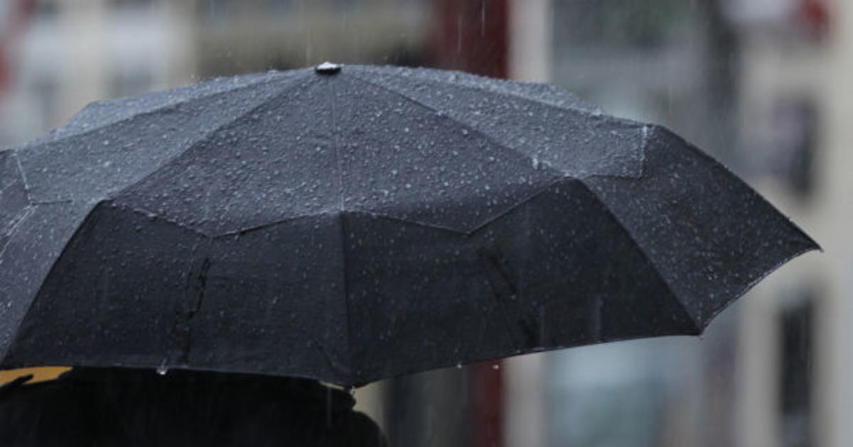
Rain totals of up to a quarter of an inch are also expected in the hardest hit areas.
"It's rare for this time of year," Pi said. "Sometimes you see it in April and May."
The system moved inland toward Contra Costa County and the region had a chance of catching more showers until about midnight.
An unexpected funnel cloud over Plumas Lake may have been the highlight of the unusual summer weather pattern.
"The fact that I was able to see it swirl and begin to come down even further and then watch it recede, was on top of the amazing factor," explained Rachel Young, who sent in video to the CBS13 newsroom of a funnel cloud that formed over her neighborhood.
Young and her family watched for five minutes as the funnel cloud formed, sending huge pieces of hail to her neighborhood below.
She says as the storm grew in intensity, they noticed a change in the weather pattern down below.
"We would feel the wind come towards us and then behind us, and then it was from the side and you can see and feel it whip around," she said.
Erich Kaiser, who lives nearby, didn't see the funnel cloud, but he did get caught in the massive downpours.
"I was back behind Thunder Valley and it was dumping rain," he said. "I couldn't believe it — totally caught off guard that we were getting this kind of rain in the middle of summer."
As the storms moved to the east, Sierra elevations above 5,000 feet may see from 5 to 10 inches of snow and a winter weather advisory was in effect for areas around Lake Tahoe, Pi said.
The National Weather Service in Sacramento said up to 5 inches of snow is expected in higher elevations of the Northern Sierra, with possibly 8 to 12 inches of snow falling over Lassen Volcanic National Park.
Meteorologist Eric Kurth says it's not uncommon to get snow in the mountain peaks this time of year, but it's unusual for the weather service to issue an advisory in June warning drivers to be ready for winter driving conditions.
"It's enough snow to cause travel difficulty this time of the year," Kurth said.
© Copyright 2017 by CBS San Francisco and Bay City News Service. All rights reserved. This material may not be published, broadcast, rewritten or redistributed