Best Hiking Trails In The East Bay
Briones Regional Park
2537 Reliez Valley Road
Martinez, CA 94533
(888) 327-2757
www.ebparks.org
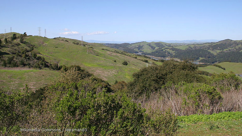
Locals say the best time to visit this sprawling 6,000-acre park is in springtime when wildflowers are in full bloom. Nevertheless, Briones Regional Park, with its incredible vistas of the San Francisco Bay and Mount Diablo, is well worth a visit during the summer and fall. The park has a handful of entry points, with the park office located off Alhambra Road, along the northernmost border. First-time visitors to the park have several trails to explore, ranging from a leisurely stroll to moderate hikes exceeding seven miles. Among the most popular trails are the 2.2-mile Briones Regional Park Exploration and the 5.6-mile Briones Crest Trail.
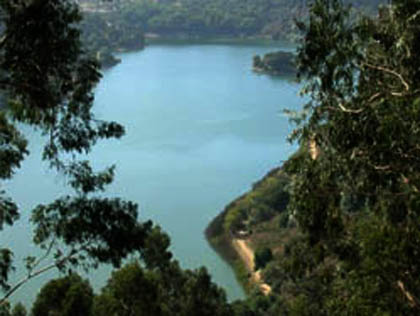
Lake Chabot Regional Park
17930 Lake Chabot Road
Castro Valley, CA 94546
(888) 327-2757
www.ebparks.org
Located just minutes from Highway 580 near San Leandro, this East Bay park is a popular summer destination for not only hiking, but picnicking, cycling, boating and fishing. Swimming is not allowed because the 315-acre reservoir is used as a standby emergency water supply. Lake Chabot Regional Park has over 20 miles of hiking trails and connects to its immensely larger neighbor, Anthony Chabot Regional Park and the 32-mile East Bay Skyline National Trail. First-time visitors can hike through peaceful eucalyptus groves and endless acres of chaparral. Among the park's favorite trails are the loop around the lake and the Lake Chabot History Walk.
Mount Diablo State Park
S. Gate Road and Mount Diablo Scenic Blvd.
Walnut Creek, CA 94598
(925) 837-2525
www.parks.ca.gov
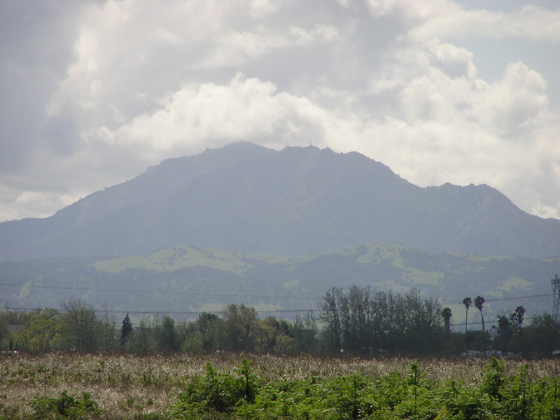
With an elevation of 3,849 feet, Mount Diablo is the East Bay's highest peak and visible from many locations across the entire Bay Area. There are multiple points to enter the park, with North Gate and South Gate entrances being the most widely used. Although some hearty climbers make a full day of hiking to the top of Mount Diablo, it is accessible by car, allowing people to visit the historic Summit Visitor Center or to enjoy the .7-mile Fire Interpretive Trail. Motorists are advised to be cautious when traveling to or from the summit, as the route is a favorite amongst bicyclists. All visitors are encouraged to bring plenty of water and other fluids as summer temperatures can often exceed 90 degrees.
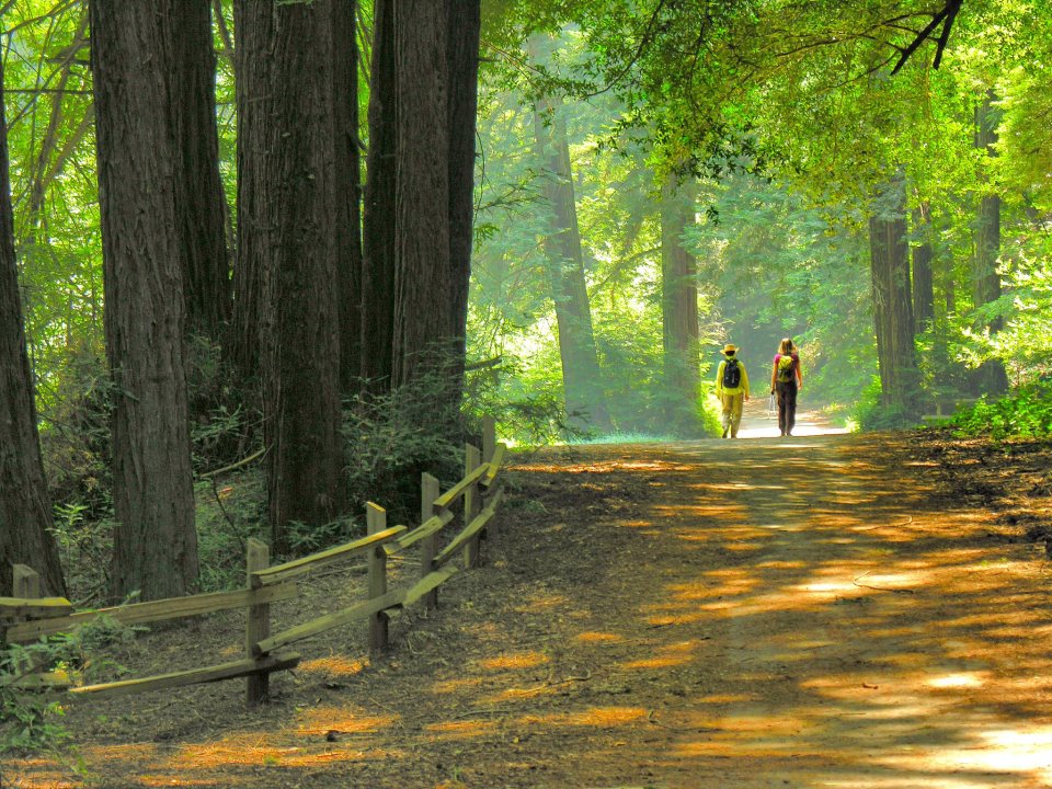
Redwood Regional Park
7867 Redwood Road
Oakland, CA 94619
(888) 327-2757
www.ebparks.org
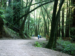
Although most of the well-known redwood groves are in the North Bay and Santa Cruz Mountains, the Oakland Hills has its share of towering sequoias. The most prominent are the Blossom Rock Navigation Trees, a California Historical Landmark within Redwood Regional Park. Among the recommended hiking trails in the popular 1,829-acre park are the 5.4-mile West Ridge Trail and the more challenging 7.9-mile French Trail Loop, both traversing through lush redwood canyons. For beginners seeking an easier route, the out-and-back Stream Trail from the Canyon Meadow Staging Area is about two miles round trip.
Tilden Regional Park
2501 Grizzly Peak Blvd.
Berkeley, CA 94708
(888) 327-2757
www.ebparks.org
The East Bay Regional Park describes this park not far from downtown Berkeley as the "jewel of the system." The park is a popular choice for families with children who can board the miniature steam train or ride a colorful hand-carved and painted horse on the antique carousel, listed on the National Register of Historic Places. The park also features Lake Anza, where its sandy beach can be crowded on a warm summer day but supervised by lifeguards. While admission to the park is free, there is a fee for the steam train, carousel and beach access. There are a number of outstanding hiking trails, including the paved Nimitz Way from the park's Inspiration Point, the 3.5-mile Wildcat Peak Trail with an ascent of 1,712 feet and Seaview Trail with its stunning vistas of San Francisco Bay and Mount Diablo.
Randy Yagi is a freelance writer covering all things San Francisco. In 2012, he was awarded a Media Fellowship from Stanford University. His work can be found on Examiner.com.