Rivers And Streams In North Bay Edge Towards Flood Stage
SAN FRANCISCO (CBS SF) – Flash flood warnings and advisories were issued for parts of the North Bay Thursday as a potent storm front slammed into the Bay Area, bringing with it heavy rains and strong winds.
The heavy precipitation from the storm system prompted numerous warnings over the course of the day.
According to the Marin County Department of Public Works, both Fairfax and San Anselmo sounded their flood alarms shortly before 5 p.m.
"It's not looking good," San Anselmo Town Manager Debra Stutsman told KPIX 5 late Thursday afternoon.
According to Stutsman, the San Anselmo Creek was at 12 feet, less than a foot from flood stage.
With the steady rain continuing into the night, chances are increasing that the creek will overflow. If it does, locals are being warned flooding in nearby homes and businesses is likely.
"We are hoping it will taper off, but if it keeps raining it's going to flood. It is not looking good," Stutsman said.
Town officials later ordered an evacuation of downtown San Anselmo over concerns of possible flooding. While Stutsman told KPIX 5 the creek was beginning to recede at around 6 p.m., continuing rain and run off meant that it could still rise over the 13-foot flood stage.
The evacuations were called off a short time later.
The Marin County Sheriff's Office announced the county had activated its Emergency Operations Center to coordinate public safety response efforts in the wake of the storm.
The sheriff's office also reported that Marin County Fire units were assisting residents with flooded homes in Forest Knolls and Woodacre with some people evacuating homes along Castro Street in Lagunitas and Forest Knolls.
The San Geronimo Community Center at 6350 Sir Francis Drake Blvd opened its doors for people who had to leave their homes due to flooding.
The National Weather Service also extended a flash flood warning for southeast Sonoma County and northern Marin County that was initially issued in the afternoon until 8 p.m.
The Petaluma River at the D Street Bridge was also at flood stage as of shortly before 3 p.m., according to the National Weather Service.
San Rafael police reported several streets were flooded and creeks were overflowing around 1:20 p.m. State Highway 37 just east of state Highway 121 in Marin County was flooded, according to the California Highway Patrol.
The storm moved down the coast from the northwest where it has already caused havoc in Portland, dusting the Oregon city with snow flurries and slowing travel with icy, treacherous roads.
Off the Northern California coast, the front was merging with a massive plume of moist air drawn in by the jet stream from off the Hawaii Islands.
• KPIX 5 WeatherCenter: Latest Conditions and Forecast
The National Weather Service issued a litany of warnings and watches for the region as local residents prepared for one of the strongest storms of the year.
By early afternoon, 4.37 inches of rain had fallen in Yountville, 3.84 inches in Pacifica, 3.09 inches in Healdsburg, 3 inches in St. Helena and 3.4 inches in Bodega Bay.
Meanwhile, a wind gust of 59 mph had been record on Mt. Diablo and in Los Gatos. San Francisco Airport, where numerous flights were cancelled or delayed, had record a gust of 41 mph.
Sonoma County officials reported 24 road closures throughout the day that included Austin Creek Road in Cazadero, Eastside Road in Windsor, Mark West Station Road north of Santa Rosa and Valley Ford Road in the Valley Ford area.
In Healdsburg, antique dealer Greg Sheldon said driving conditions were difficult there.
"Some of our streets are flooded here. I had two feet of water in one of my lanes," said Sheldon, who works at Antique Harvest. "There's just tons of water coming off, the ground is so saturated right now. Every field is a big lake."
Chris Daniels, who also works in Healdsburg and lives nearby in Windsor, said she is worried about getting home Thursday night.
"I have a creek behind my house. It's just about ready to go over our road," she said. "I'm just hoping I can get back into my house"
The weather service also issued a minor to moderate flood warning at 2 p.m. for the Napa River Basin near St. Helena, forecaster Bob Benjamin said.
The Napa River at St. Helena was at about 14 feet at 2 p.m. and was expected to rise above flood stage at 17.7 feet early Thursday evening, then fall later in the evening, Benjamin said. Major flooding occurs at 19 feet, he said.
The weather service later upgraded the advisory to a flash flood warning shortly before 4 p.m. that was scheduled to remain in effect for the Napa River and it's tributaries until 6:30 p.m.
The urban and small stream advisory was expanded eastward shortly before 6 p.m. to include Concord, Livermore, Dublin and Walnut Creek in the East Bay.
Flash flood advisories were issued for areas of Lake County burned by wildfires in the summer, according to Benjamin.
The Rohnert Park Department of Public Safety issued a bulletin to advise drivers of the following road closures:
- Redwood Drive between Martin and Rohnert Park Expressway
- Enterprise Drive between Commerce and State Farm Drive
- Hillview Way at Holly Avenue
- Snyder Ln down to one lane southbound between RPX and Southwest Boulevard
- Rohnert Park Expressway from Rancho Verde to Stony Point Road
A large tree came down over part of Highway 116 near Forestville. The tree took out some communication lines at around 8 a.m. Thursday morning. County road crews worked to clear it.
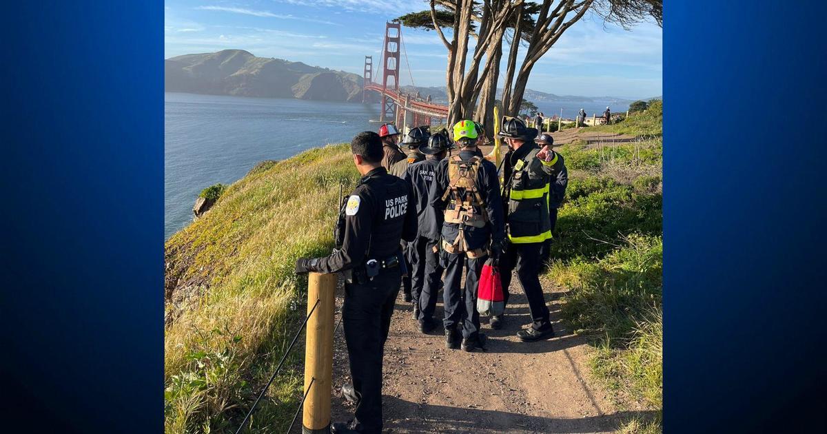
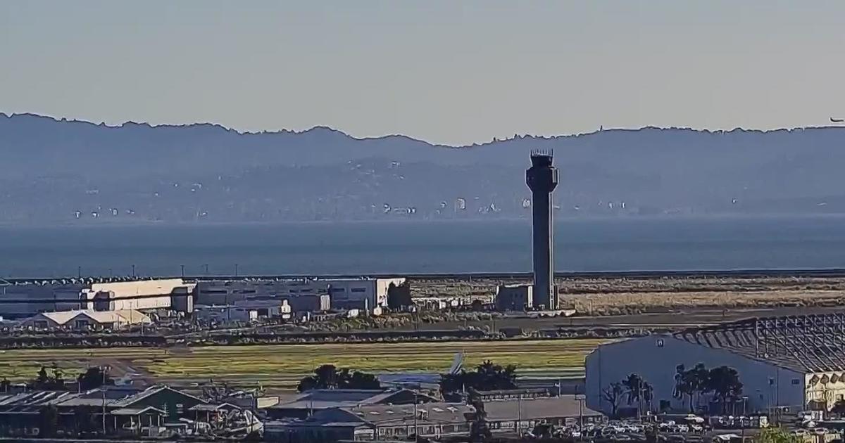
The storm also caused some delays and flight cancellations at San Francisco International Airport.
A wind advisory was issued for the Bay Area with gusts hitting 50 miles an hour in some of the higher elevations.
Forecasters also warned of king tides that were expected to exceed 7 feet around noon Thursday, bringing flooding to some low-lying areas around the San Francisco Bay.
The tides flooded parts of the sidewalk along the Embarcadero in San Francisco and at one area of the Oakland Estuary near Jack London Square.
Flash flood warnings were in effect for the already saturated Santa Cruz Mountains, but it was east of the Bay Area where the worst flooding was expected.
The storm was also expected to cause some flooding in Yosemite National Park and in Truckee and blizzard conditions in the Sierra
The Merced River at Pohono Bridge in Yosemite National Park was forecast to rise several feet above flood stage by Thursday night. A flood warning has also been issued for the Russian River near Hopland in Mendocino County.
The warm temperatures brought on with the front was driving snow levels in Tahoe above 8,000 feet.
That will bring heavy rains instead of snow to the Truckee area where the run-off will push the already swollen Truckee River over its banks by early Thursday evening.
In the higher elevations, the National Weather Service has issued a winter storm warning.
The teeth of the storm was expected to rip into the Sierra starting 2 p.m. A foot of snow was expected from 7,000 to 8,000 feet with as much as 3 feet at 8,000 and above.
With winds ranging from 70 mph to more than 100 mph at highest peaks, forecasters were warning travelers using the mountain passes to prepare for white-out blizzard conditions.