Bombogenesis: Cyclone Force Winds Rip Through Monterey-Salinas
SAN FRANCISCO (CBS SF) – Cyclone force winds ripped through the Monterey-Salinas area early Friday, shredding trees with gusts exceeding 80 mph and blocking lanes of Highway 101 as the latest winter storm roared into Northern California.
The National Weather Service reported a gusts of 87 mph at Big Sur, 86 mph and 84 mph at the Carmel Valley Village, 75 mph in Castroville, 71 mph at the Salinas Airport and 58 mph at Mt. Diablo in the East Bay.
The winds ripped limbs from trees at the Salinas Airport and across the region trees and power lines were down and downed trees were on Highway 101 north of Prundeale.
The storm also added a new word to weary Bay Area residents' vocabulary Friday – Bombogenesis.
The National Weather Service and other forecasters took to social media hours before the latest winter storm slammed into the California coast, warning of the possibility of rare bombogensis conditions forming in the Pacific off the Bay Area.
The apocalyptic sounding bombogenesis is a mid-latitude cyclone that drops in surface barometric pressure by 24 or more millibars in a 24-hour period.
What it means is moments of intense downpours, but also really, really strong winds battering the Bay Area. The weather service issued a wind advisory for the entire Bay Area with gusts of 60 mph or more predicted.
As of 8:30 a.m., the National Weather Service reported a gusts of 86 mph and 84 mph at the Carmel Valley Village, 75 mph in Castroville, 71 mph at the Salinas Airport and 58 mph at Mt. Diablo in the East Bay.
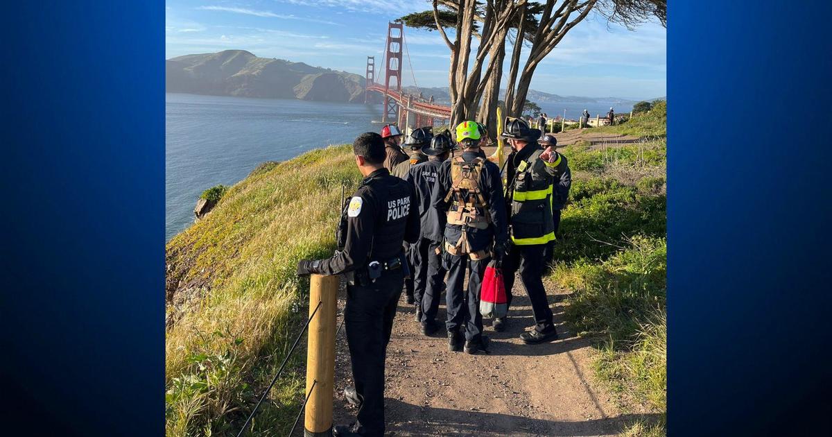
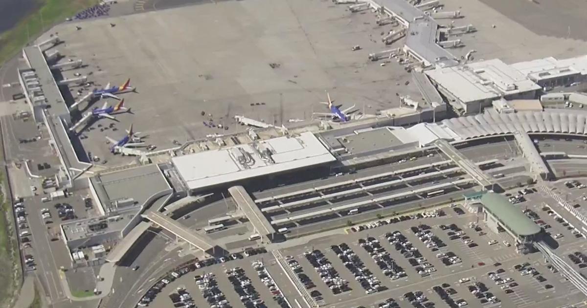
Winds toppled trees and power lines in San Jose, shutting down Highway 880 until and forcing San Jose Mineta Airport onto auxiliary power, delaying flights. Power was restored to the airport around noon and 880 reopened a short time later.
Winds were also creating havoc in Santa Cruz where several trees has toppled on State Park Drive near Searidge Road.
In the Bay Area, strong downpours had caused flooding and ponding on local roadways, turning the morning commute into a slow and treacherous journey.
Winds will likely topple trees already weakened by weeks of rain disrupting power service, flights will be delayed at airports and ferry traffic on the San Francisco Bay will be impacted.
Rain had already begun to fall early Thursday but the surface low – the source of the potential bombogensis conditions -- was deepening and parking itself off the San Mateo Coast.
Forecasters said downpours of 0.50 to 1 inch per hour were possible until 10 a.m.
That news was unwelcomed for officials watching the rapidly rising waters of the Anderson Reservoir in Morgan Hill.
Water was gusting out of the spillway early Friday and the reservoir neared flood levels. The arriving storm also had officials at the Oroville Dam watching the situation with a heightened awareness.
Meanwhile, flooding continued at Lakeport in Clear Lake as the lower Sacramento River ran over its banks and in the Central Valley community of Lathrop.
Work on removing a massive landslide blocking lanes of Highway 17 – the main artery between San Jose and Santa Cruz – also was halted because of the rain and winds.