Sea Rise To Cause Frequent Flooding In Bay Area Cities, Study Warns

OAKLAND (KCBS) – A new study of sea level rise looks at the Bay Area communities most vulnerable to it, and how quickly residents and planners will have to adapt. Alameda, Novato, and San Mateo are just a few places on the list.
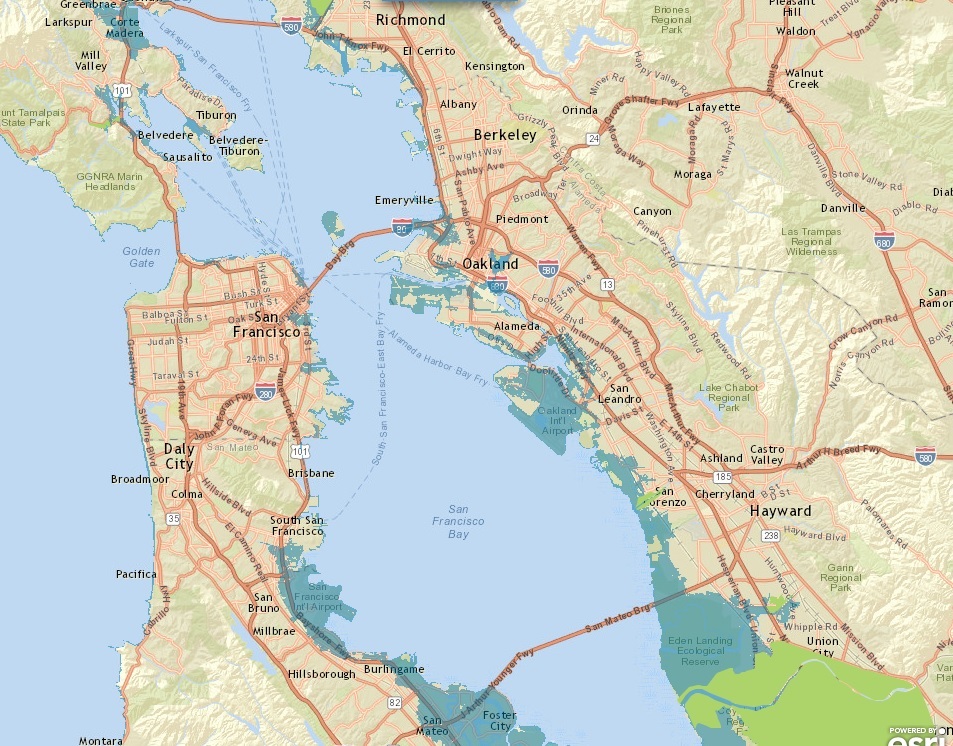
From Kristy Dahl's office at the Union of Concerned Scientists in downtown Oakland, it's a short trip to some of the Bay Area neighborhoods in the study she's just published.
An interactive tool on the ucsusa.org website displays the results.
The premise here is that long before these places are underwater, they're going to face chronic flooding. Every other week on average. Often enough to force residents and infrastructure to move.
"By 2060, a lot of the northern neighborhoods in Alameda start to see this chronic flooding," Dahl told KCBS. And by end of the century, with a moderate sea rise scenario, it's about 30 percent of the island."
That moderate scenario assumes that greenhouse gas emissions start to decline.
Dahl said the good news here is that Californians have more time to plan than people on the East and Gulf coasts, where the sea level is rising more quickly.