Rainy Bay Area Morning Commute; Sierra Prepares For Snowy Onslaught
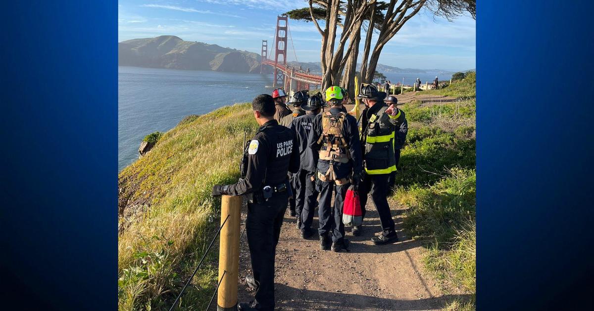
SAN FRANCISCO (CBS SF) -- A low pressure system parked off the California coast early Tuesday, sent bands of intense downpours into the Bay Area, slowing the morning commute and triggering more than a dozen traffic accidents.
Forecasters warned that the morning showers would be followed by cold, unstable air that could trigger afternoon thundershowers and hail storms from San Francisco to Sacramento.
The cooler airmass will lowers snow levels to 4000 feet in the Bay Area so there could be some snow on the highest peaks.
The Santa Cruz Mountains suffered the brunt of the storm through 8 a.m. The National Weather Service reported that nearly 2 inches of rain had fallen in Ben Lomond, 1.48 inches in Loma Prieta and 1.18 inches in Soquel.
Elsewhere, the storm totals were not as impressive. Santa Rosa had gotten nearly an inch, Kentfield 0.59 of inch, San Francisco 0.40 of an inch and Mt Diablo 0.58 of an inch.
San Francisco International Airport was under a ground delay with flights being delayed at least an hour. Airport officials said they had already had 39 cancellations as of 8 a.m. and dozens of delays.
Forecasters predicted a brief break in the weather Wednesday night before a second front rolls into the Bay Area bringing with it to light rain showers Thursday morning. Then a third front would arrive later in the day.
The third system will bring with it a 3-6 hour period of light to moderate rain. By Friday night, a cold airmass could drop snow levels to 2500 feet in the North Bay and 3000 feet in the Santa Lucias. Isolated thunderstorms will also be a possibility.
The National Weather Service said additional rain amounts through Saturday were expected to be 1-2 inches in the Bay Area. Another 1/2 to 1 inch was predicted over Monterey and San Benito counties.
In the Bay Area hills could see 2-3 inches with 4 inches in the Santa Cruz Mountains.
In the Sierra, the storm triggered a winter storm warning for the Lake Tahoe area from 1 p.m. Tuesday until 11 p.m. Wednesday. Forecasters predicted that snow accumulations over 8,000 feet will range from 8 to 16 inches with localized amounts up to 21 inches.
At 5,000 feet, 3-5 inches of snow were possible as the front moves through. Forecasters warned of travel delays Tuesday and Tuesday night due to blowing snow.
A second, colder storm system will be moving into Northern California Wednesday evening through early Saturday morning. It will be packing more rain, snow, colder temperatures and wind than the Monday-Wednesday storm front.
Forecasters say another 2-3 inches could fall in the coastal mountains with another 2 inches along the Bay Area shoreline.
In the Sierra, at the highest elevations, a few feet of snow were possible from early Thursday through Saturday morning while the Sierra valleys could pick up as much as a foot of snow.