Storm System Makes For Wet Christmas Eve In Bay Area
SAN FRANCISCO (CBS SF) -- Travel on Bay Area roadways Monday turned into a sloppy mess Monday afternoon as heavy rain rolled through creating treacherous driving conditions.
The National Weather Service forecast called for breezy conditions with showers starting in the early morning developing into heavier precipitation and a slight chance of thunderstorms in the afternoon.
High temperatures will be in the upper 50s. Southwest winds will be 10 to 20 mph, increasing to west winds at 20 to 30 mph in the afternoon.
The heaviest rain is predicted to move from the North Bay to cover the greater Bay Area by 3 p.m., which will impact traffic as families head to their Christmas destinations Monday afternoon.
Monday night will be mostly cloudy in the evening, then becoming partly cloudy and breezy with a slight chance of thunderstorms in the evening and a chance of showers through the night.
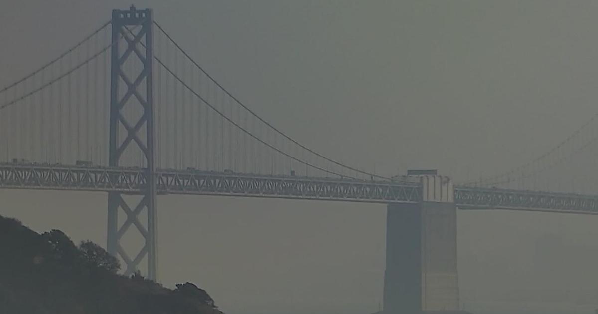
The persistence of "king tides" has prompted the National Weather Service to issue a coastal flood advisory from 10 a.m. through 2 p.m. Monday impacting low-lying areas along the coast and inland bays.
"King tide" isn't really a scientific term, but rather a catch-all description of the higher-than-normal tides that often accompany a new or full moon.
Lows will be in the lower 50s, with west winds will be 20 to 30 mph before becoming northwest winds from 10 to 20 mph after midnight.
Overnight on Christmas Eve, snow will develop over the Sierras and farther east into the Great Basin. On Christmas morning, rain will end over parts of Northern and Central California as rain moves into Southern California.
Christmas day is forecast to be sunny with highs in the upper 50s and northwest winds clocking in at 10 to 20 mph.