Stormy Weather Will Keep Bay Area Damp Through Christmas Week
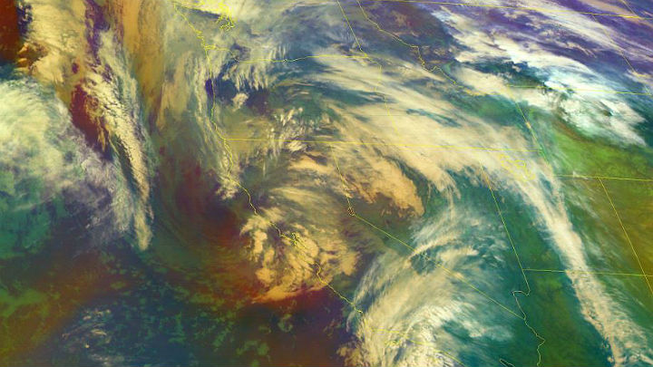
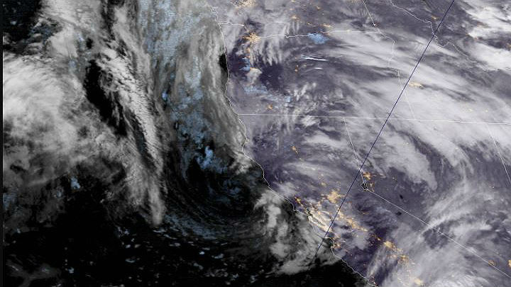
SAN FRANCISCO (CBS SF) -- Anytime the images from the GOES satellite parked high over the West Coast take on the appearance of modern art, it's guaranteed to be a wet and windy day across Northern California.
Wednesday was no exception. Storms churning to life over the turbulent waters near the Gulf of Alaska where streaming into the Bay Area, carrying with them showers for much of the next five days.
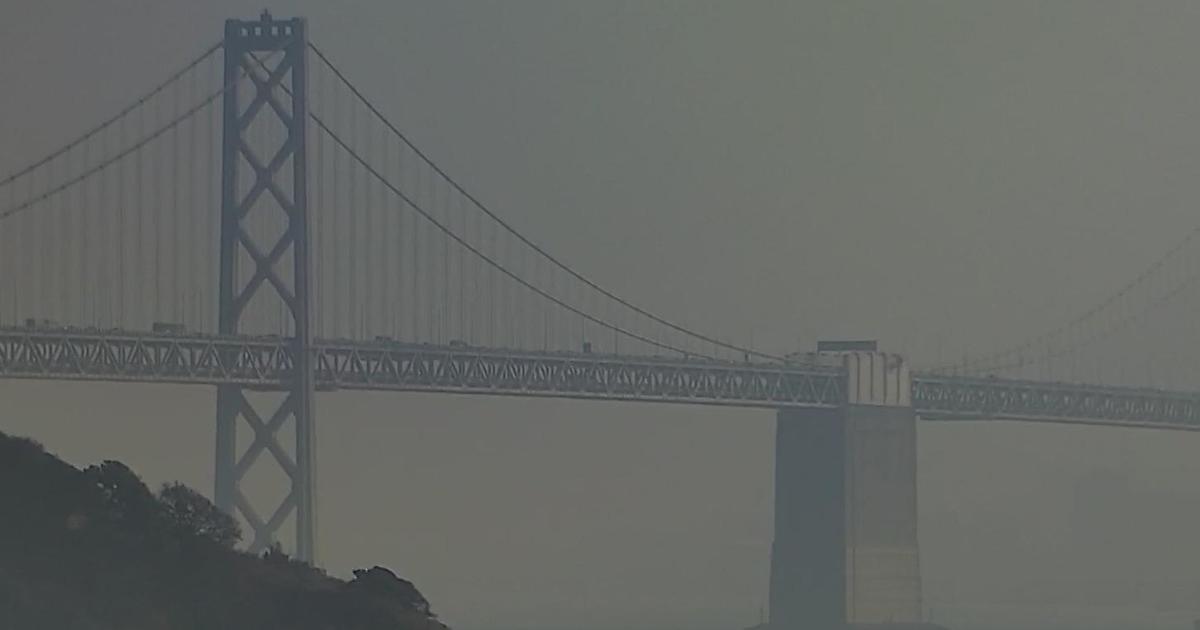
Rain began falling overnight night, creating treacherous driving conditions on the morning commute as roadways were covered with water. In Oakland, the wet roadways proved deadly.
CHP Sgt. Alex Edmon told KPIX 5 that a driver of a Mercedes lost control of their vehicle and spun out in the westbound lanes of I-580 as heavy rains fell in the area. A pickup truck then collided with the Mercedes.
Both drivers got out of their vehicles, he said. The driver of the pickup truck walked around his vehicle to the passenger side and was fatally struck by a Honda sedan.
The force of the impact hurled the driver's body into the eastbound lanes. Lanes on the busy freeway were shut down for several hours. The CHP reported a number of accidents and spin outs during the commute
"For the rest of the day, showers will continue as low spinning off the coast moves eastward dragging another front through the region," the weather service said. "Additional rainfall amounts will vary greatly."
Wednesday's storm centered its punch on San Francisco's North Bay. Kentfield picked up 1 1/2 inches of rain while Terra Linda had received 1.27 inches. Across the Bay Area, rain totals ranged from .20 of an inch to 1.50 inches.
The North Bay will also bear the brunt of the next pulse of storms on Thursday.
"Additional shower activity will be possible (Wednesday) evening through Thursday mainly north of the Golden Gate and coastal mountains as a weak warm front lifts through the region," the National Weather Service said. "As the warm front moves northward Thursday into Friday precipitation chances will also drift farther north."
While forecasters said it was a little early to predict the storms next week, they did say the Bay Area may be in for a snowy Christmas on its mountain peaks on Christmas.
"Unsettled weather returns heading into Christmas," the weather service forecasters warned. "If (the current) scenario pans out a White Christmas will be possible over the higher peaks, above 4,000 feet around the Bay Area. This low could have travel impacts around the state next week."