Radar Imagery Reveals Sub-Tropical Plume Fueling Wild Bay Area Weather Swings
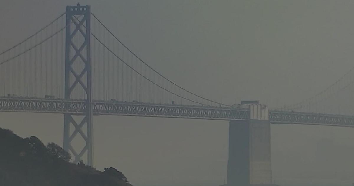
SAN FRANCISCO (CBS SF) -- Mother Nature was taking the San Francisco Bay Area on a wild weather ride Monday, alternating between sunshine and intense May showers downpours.
The culprit at play is a storm plume stretching thousands of miles to the Hawaiian Islands that is pumping unstable sub-tropical air over Northern California.
Storm cells, packing downpours, hail and possible lightning, are riding along the plume and racing across the state. The downpours were throwing a damper over golfers trying to get a round in on local courses recently reopened from their COVID-19 enforced shutdowns.
Forecasters also advised Bay Area residents to keep an eye on the horizon since the conditions are perfect for the formation of rainbows.
Over the last two days, more than an inch of rain has fallen on Mt. Tam in Marin County with other areas reporting an inch or less.
"A quick look at 24-hour rainfall totals shows decent numbers for late May," weather service forecasters said. "Over two inches of rain was measured in the Santa Cruz Mts and the mountains above Big Sur. Most other populated areas ranged from the a few hundredths to just under an inch."
Forecasters said the "unstable airmass" will remain parked over the Bay Area for the rest of the day.
"No lightning has been observed yet, but developed showers this morning have been producing heavy rain and small hail," the weather service said. "Current forecast keeps scattered showers in the forecast through this evening. Given the instability there is also a chance for afternoon/evening thunderstorms mainly from Monterey Bay northward. The most likely location for thunderstorms is across the the North Bay this afternoon."
A flash flood warning has been issued for a wide swath of central California for Shasta County, the Sacramento and Northern San Joaquin Valley and the Sierra.
The warning runs from 10 a.m. to 9 p.m. Monday as forecasters were warning of rain rates of 1/2 inch or more an hour as the storm cells roll through.
The storm was also triggering a significant snowfall in the Lake Tahoe area. Chains were being required for travel through the mountain passes on I-80.
A Winter Storm Warning above 6,500 feet was in effect for the Tahoe area until 5 p.m. Tuesday.
"Heavy snow occurring," the National Weather Service in Reno reported Monday morning. .Plan on difficult travel conditions, including during the morning commute. Additional snow accumulations of 7 to 10 inches, with localized amounts up to 15 inches, are expected...including Donner Pass and Echo Summit."