New Bay Area Storm System Brings Rain, Wind, Colder Temps
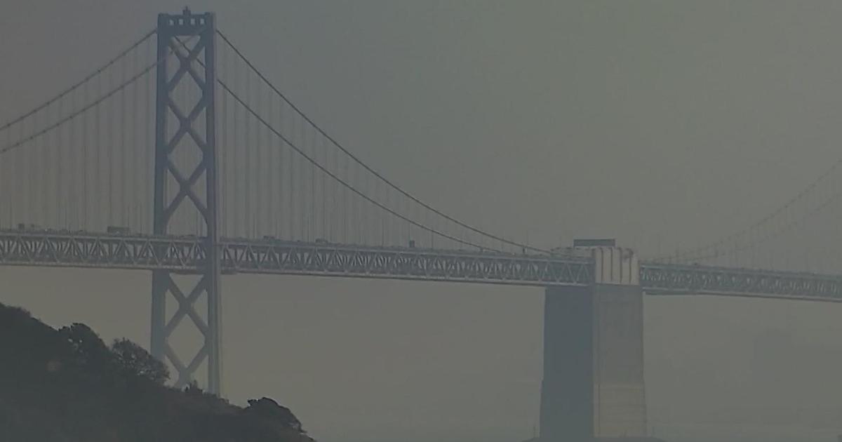
SAN FRANCISCO (CBS SF) -- Rain was falling across the Bay Area again Friday morning and forecasters said more precipitation is on the way.
The region began with showers Friday morning with more substantial rain and gusty winds expected by the afternoon. Highs will be in the 50s to mid 60s.
Showers and possible thunderstorms were expected for Saturday along with colder temperatures. Sunday could see a few leftover showers with highs only in the 50s.
CBS 5 Weather Center: Current Conditions & Forecast | Streaming Hi-Def Doppler | Interactive Radar
There was a slight chance of showers on Monday with a possible return to dry weather on Tuesday and Wednesday.
The Sierra was under a winter storm warning and could see up to 2 feet of additional snow.
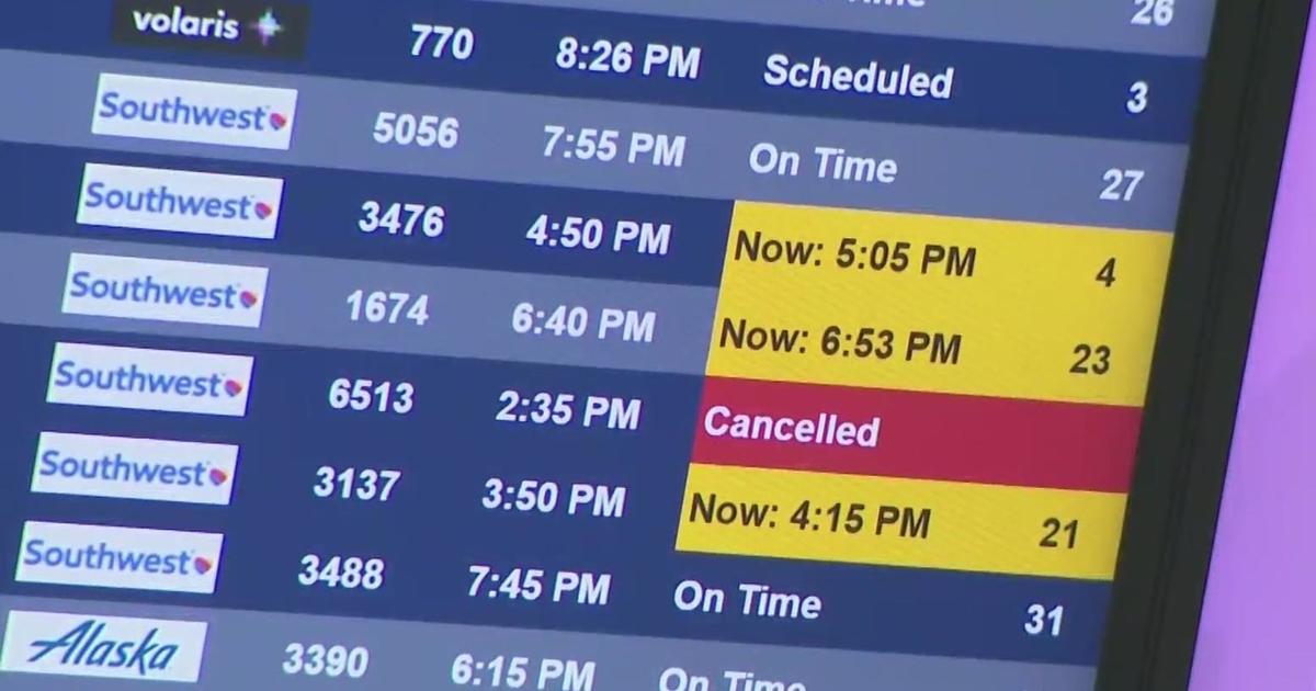
Travelers arriving at San Francisco International Airport Friday morning may be anywhere from a few minutes to three hours late because of the rainy weather, airport officials said Friday.
Delays were expected to continue throughout the day, lasting until 1 a.m. Saturday, an airport duty manager said.
Rain was also expected in the central and southern part of the state. In the Los Angeles area, rain was expected to hit after 11 p.m. and continue through Saturday with a chance of rain on Sunday.
Up to 12 inches of snow was expected in Southern California mountains above 4,000 feet, and even the Santa Monica Mountains rising above the Malibu coast could see a light dusting.
(Copyright 2012 by CBS San Francisco. All Rights Reserved. This material may not be published, broadcast, rewritten, or redistributed.)