Drizzle Will End, 80's Will Return After 3,000 Foot Layer Of Clouds Burns Off Of Bay Area
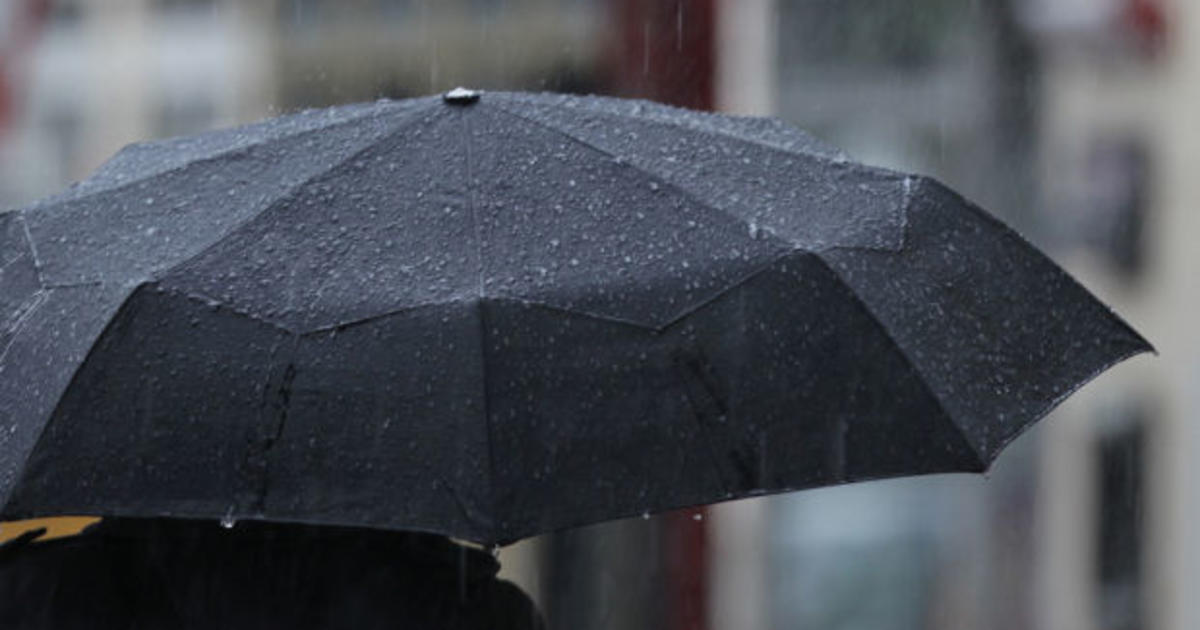
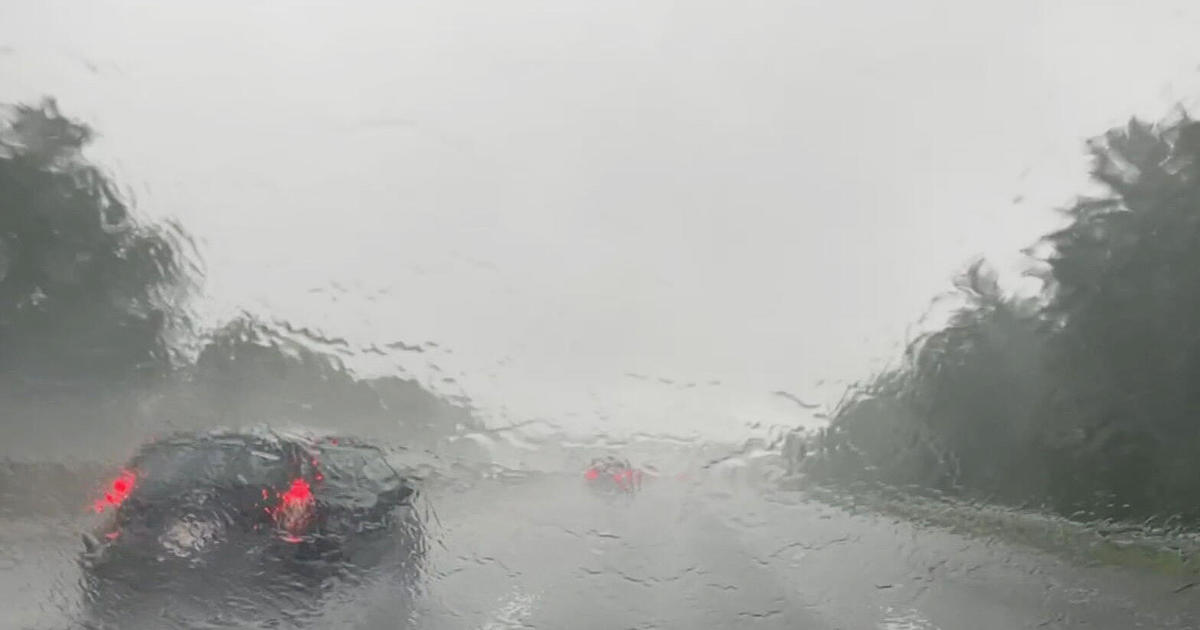
SAN FRANCISCO (CBS SF) - Tuesday brings one more day of heavy clouds and some widespread morning and evening drizzle for the Bay Area, extending the respite for allergy sufferers who had been sneezing through much of our early spring.
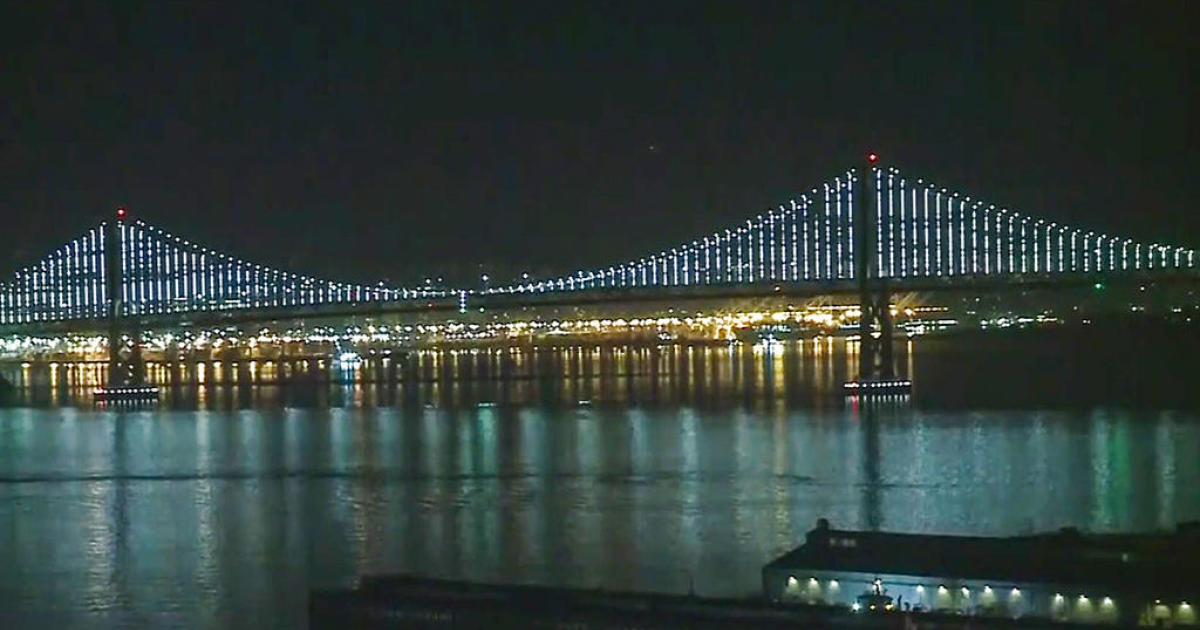
A cloud deck roughly 3,000 feet clung to the region Tuesday morning, bringing drizzle and measurable precipitation for several towns.
Those clouds should burn off inland by the afternoon, bringing temperatures in the mid 70's.
"This is just a broken record. Pretty much what we saw yesterday, Sunday and Saturday is what we will be experiencing today," said KPIX 5 Weather Anchor Roberta Gonzales. "Expect cooler than average temperatures."
That all begins to change on Wednesday, when low clouds and fog will give way to highs around 80 when high pressure builds in.
"Those warmer temperatures should last all the way through the weekend," said Gonzales, who cautioned that San Francisco and some other coastal areas will continue to see clouds.
The warming temperatures will bring the pollen count back up. Currently those allergic to hickory, oak and grasses are getting the worst of it, reports Gonzales. Here's the complete forecast:
You can get a complete forecast for your zip code in the CBS San Francisco Weather Center.