Storm System Brings Rare Snow, Heavy Hail To Bay Area
SAN FRANCISCO (CBS SF) -- The lingering rains from tail end of a storm system passing through the Bay Area brought a rare sprinkling of snow to Mount Hamilton in the South Bay and heavy hail to Petaluma Thursday.
A light dusting of snow was reported at the Lick Observatory on Mount Hamilton east of San Jose at around 1:20 p.m., according to the National Weather Service. The temperature had fallen to 33 degrees, allowing the precipitation from storm cells to turn into snow.
Scattered showers had been predicted throughout the day, but some of the stronger storm cells brought particularly heavy precipitation including hail in the North Bay and downpours in the East Bay.
At around 12:25 p.m., there were reports of thunder, lightning, heavy rain and hail on Hwy 12 between Petaluma and Sonoma. Drivers were advised to use caution since hail can make roads very slippery.
In some areas, the quarter-inch diameter hailstones fell a couple of inches deep, covering parking lots and roadways.
Penngrove resident Coral Mendez posted video of hail pouring down in Petaluma on Facebook.
Hail was reported ranging from pea-sized to three-quarters of an inch in diameter. It covered over U.S. Highway 101 near Gilroy. Hail also fell in Oakland.
The National Weather Service in Sacramento issued a rare tornado warning at 2:18 p.m. for Butte and Yuba counties.
The warning expired at 2:45 p.m. While there were no reports of tornadoes touching down, the weather service did retweet a photo posted by Action News Now of a funnel cloud that was spotted near Live Oak.
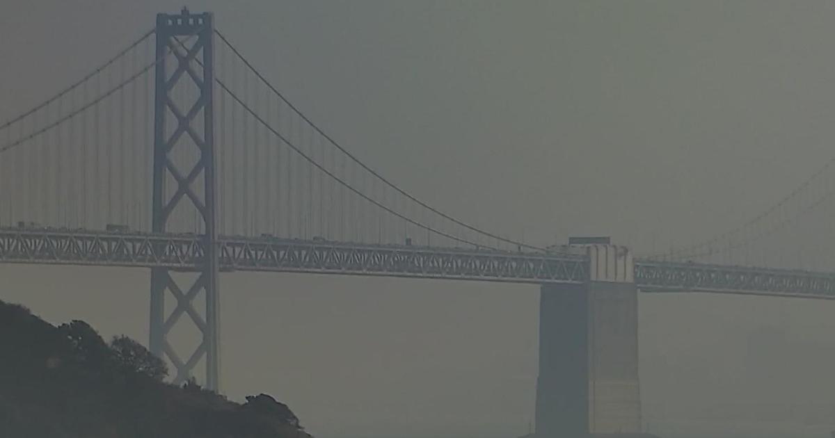
The off-and-on rain also made for several spectacular rainbows across the region. The KPIX 5 traffic camera on the approach to the Bay Bridge toll plaza captured a rainbow that could be seen appearing and disappearing in time-lapse footage.
Meanwhile, up to another foot of snow is possible in the mountains around Lake Tahoe on the heels of a storm packing 100 mph winds that triggered power outages in Reno. The storm left as much as 16 inches of new snow at Sierra ski resorts, the National Weather Service said Thursday.
A winter weather advisory remains in effect until 4 a.m. Friday for the Lake Tahoe area, where 16 inches of snow fell late Wednesday and early Thursday at Heavenly ski resort in South Lake Tahoe, California, and at Kirkwood southwest of the lake.
Another 3 to 7 inches of snow is forecast at lake level, with up to a foot above 7,000 feet by Friday morning.
The National Weather Service warned Thursday that travelers should expect difficult conditions and "damage to trees and power lines."
Nearly 5,000 homes and businesses lost power for several hours in the Reno area Wednesday afternoon when powerful winds downed power lines in Stead and toppled a semi-trailer truck on U.S. Highway 395. One gust measured 101 mph at about 1 p.m., with gusts up to 60 mph in Virginia City and 55 mph in Reno, the weather service said.
The service canceled a winter weather advisory for Carson City and the Reno area, where 6 inches of snow was reported Thursday morning in the foothills around Verdi, but skies had cleared by midday.
14 inches of new snow fell overnight at Sugar Bowl near Truckee, California, and at the Mount Rose ski resort near Reno.
About 12 inches was reported at Squaw Valley and Alpine Meadows near Tahoe City, California.
© Copyright 2018 CBS Broadcasting Inc. All Rights Reserved. The Associated Press contributed to this report.