Snow On Bay Area Peaks; Blizzard In Sierra
SAN FRANCISCO (CBS SF) – A winter storm front delivered a chilly blast to the Bay Area early Sunday, triggering plunging temperatures, brief intense downpours and hailstorms and a dusting of snow on the region's highest peaks.
According to the National Weather Service, more than an inch of rain had fallen in San Francisco and Castro Valley by 7 a.m., 1.35 inches in Orinda and 1.26 inches in Boulder Creek in the Santa Cruz Mountains.
The storm also sent temperatures plunging in the Bay Area in the early morning hours, leaving a dusting of snow on Mt. Hamilton and Mt. Diablo. Snow levels were down to 2,000 feet.
Forecasters said the front had moved eastward by day break on Sunday, but the unstable air left behind could trigger brief downpours, thundershowers and hail during the day.
The National Weather Service said rain accumulation from Sunday through Monday was expected to be a half inch or less in most areas. Snowfall may accumulate in the hills above 2500 feet and a few inches of snow is possible on the higher hills above 3000 feet.
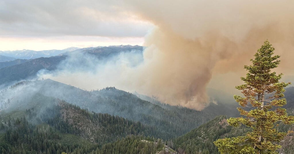
But while it will be a little wet in the Bay Area, the true brunt of the storm was being targeted on the Sierra where near record snow levels this year could be an additional 3 feet by the time the storm passes through the region.
The National Weather Service issued a winter storm warning for the Sierra until Monday afternoon.
The California Highway Patrol was warning travelers that blizzard and white-out conditions could force intermittent shutdowns on Highway 80. Chains were required for travel on both Highway 80 and Highway 50.
On top of the snowfall, winds are an issue in the Sierra. Squaw Valley was reporting 20 mph winds at its upper runs early Sunday.