Early Season Snow Storm Turns Deadly In Sierra
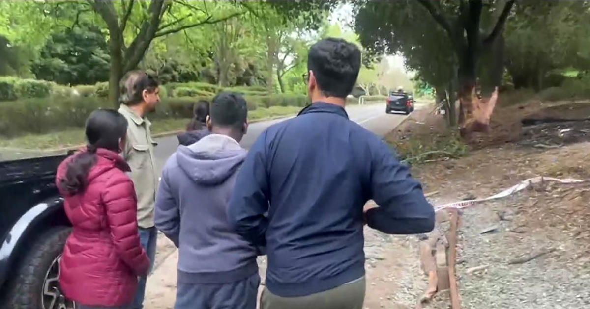
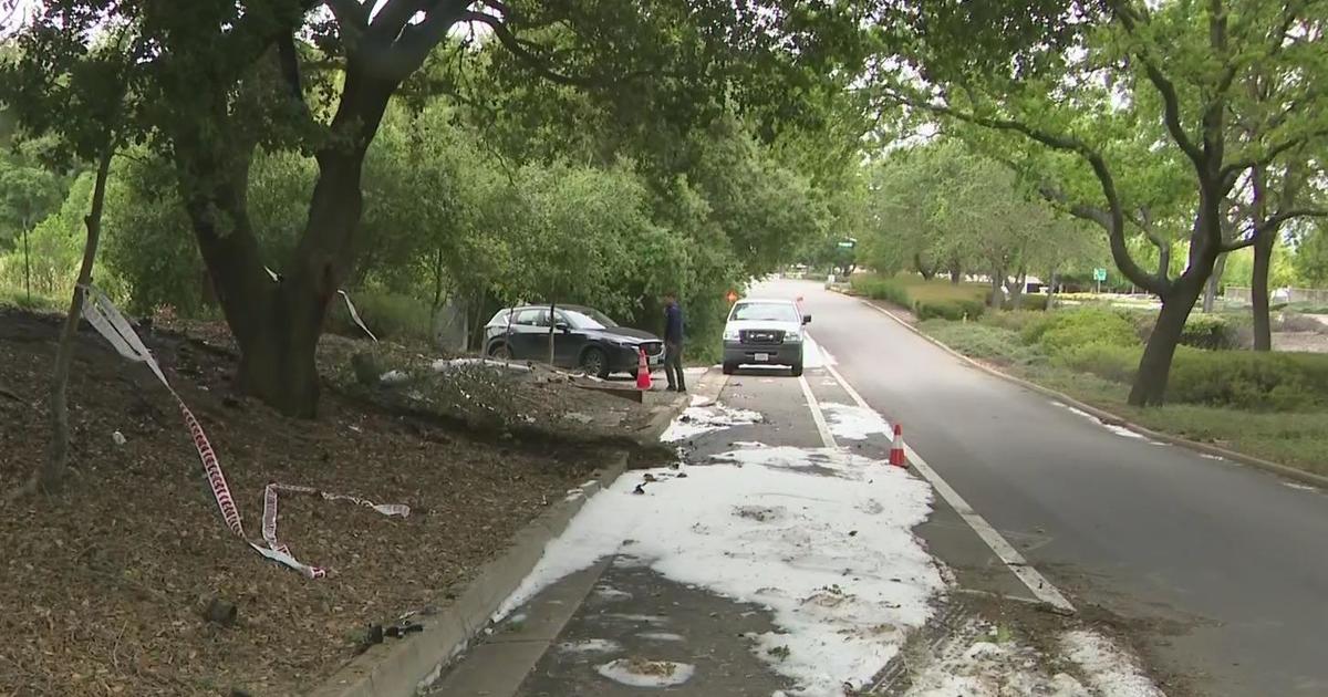
TRUCKEE (CBS SF) -- An early season storm turned deadly Thursday as a slick roadway on Highway 80 triggered a chain reaction crash involving 16 vehicles and at least one fatality.
The California Highway Patrol said the crash happened about 11:05 a.m. between Cisco Grove and Emigrant Gap. Traffic was diverted at Kingvale as Highway 80 was closed.
CHP spokesman Officer Chris Nave says the crash happened Thursday in Placer County after the weather turned nasty and hail began to fall.
Nave says one man died when his pickup truck crashed into a truck. He said a few other people had minor injuries.
"There was one two-car collision that triggered a domino effect," he said.
The cause of the crash remained under investigation.
Caltrans had anticipated lane closures into the early evening, but tweeted that the crash had been cleared by shortly after 3 p.m. The lane closures over the four hour period created a massive traffic jam and drivers were told to expect delays and "take it slow for snowy conditions."
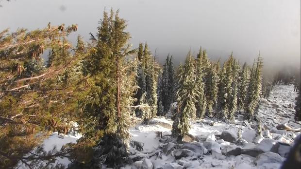
At the time of the crash, authorities said, the roadway was covered with a layer of hail. The National Weather Service has issued a winter weather advisory for the Lake Tahoe area on Thursday, the last full day of summer.
Forecasters said an unseasonably cool weather system could drop 3 to 6 inches of snow along Interstate 80 above 7000 feet. Up to 8 inches was possible over higher peaks of the Sierra Nevada.
"Since late September is an unusually early time for this amount of snow we have decided to issue a winter weather advisory above 7000 feet with main concern near Donner pass," the weather service said.
Cameras captured snow at Sierra-At-Tahoe resort and in the South Lake Tahoe area.
Sugar Bowl, a ski resort perched atop Donner Summit, received a good snow dusting that's getting skiers excited about the upcoming ski season, said resort spokesman Jon Slaughter.
"We've got people calling about season passes and checking our webcams to take a look at the first snow," Slaughter said.
The early season flurries come a little over two months since the last of the Sierra resorts shutdown their runs for the 2016-2017 season.
During last year's historic snow fall, Squaw Valley received 728 inches of snowfall and stayed open through July 4th.
According to new data released by NASA last Spring, the snowpack levels in the Sierra were larger than the last four years combined.
The Sierra snowpack is a major source of water for the San Francisco Bay Area and California's Central Valley. NASA's Airborne Snow Observatory (ASO) measured the Tuolumne Basin snowpack on April 1.
The critical annual measurement of snow revealed the snowpack was at 1.2 million acre-feet (1.5 cubic kilometers). According to NASA, that is enough snow to fill the Rose Bowl in Pasadena nearly 1,600 times.
To put that into perspective, NASA released a model showing the water content of snow in the Tuoloumne River Basin in 2015 and 2017.

The 2017 California snowpack is close to the largest on the record, NASA said. Those records consists of decades' worth of snow measurements made at ground level.
The autumn equinox is set to take place at 1:02 p.m. Pacific Time on Friday.