Flash Flood Watch Issued Ahead Of Powerful Bay Area Storm
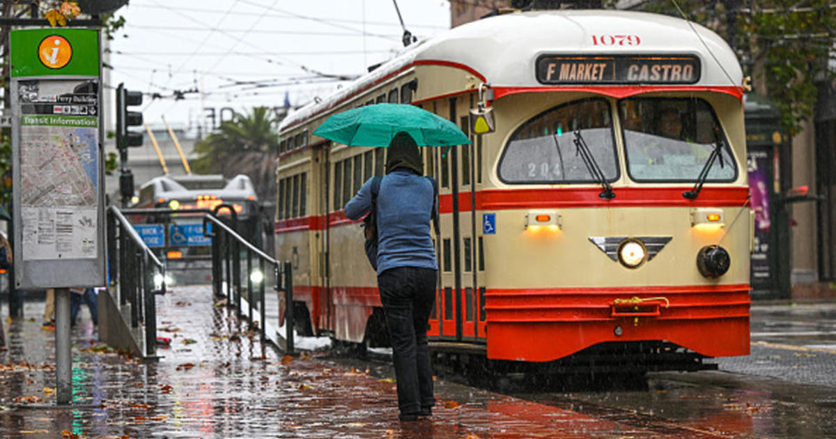
SAN FRANCISCO (KPIX 5) -- Another day of wet weather began Tuesday across the Bay Area; the second weather system of the week and ahead of a storm Wednesday that will pack a punch.
The National Weather Service in San Francisco Tuesday issued a Flash Flood Watch for the Bay Area and Central Coast, beginning Wednesday afternoon through late Wednesday night.
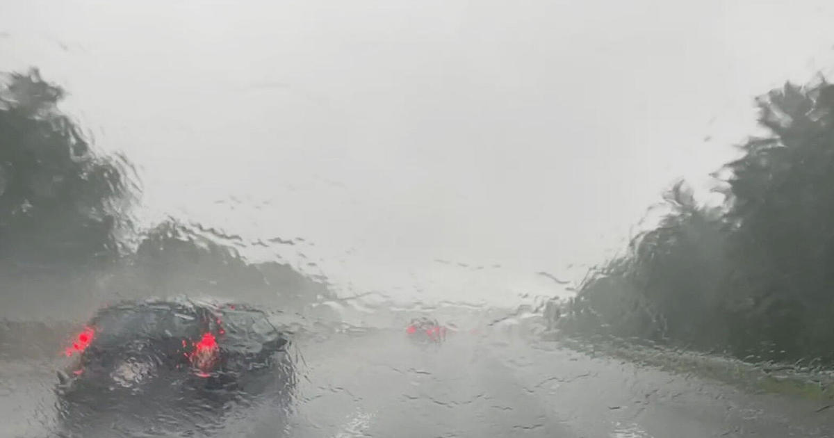
A powerful, Pacific front will bring heavy rain and strong winds Wednesday afternoon through Wednesday night, with torrential rainfall and flooded roadways expected. The rains are expected to trigger urban and small stream flooding as water runs off already-saturated hills.
The weather service urged people to take action now to protect property by sand bagging flood prone locations.
Heavy rain over the past couple of days led to localized flooding in San Rafael Tuesday afternoon. Public works crews were clearing storm drains blocked by debris, and hoping to get ahead of any major flooding Wednesday.
"Right now, the water is beginning to build up on us so we're having a couple of localized flooding calls coming in," Public Works Operations Manager Mark Wright said Tuesday.
Wright said the city is prepared for heavy rainfall, boasting more pumping stations than any other city in the North Bay. There is still an expectation that Wednesday's storm may bring mudslides to the saturated hills nearby.
"If we have a lot of rain, like two to three inches in one hour, that can inundate the system and cause catch basins and headwalls to overflow, and at the same time can cause movement and mudslides," Wright said.
The city will have eight, two-person crews at the ready for the next 24-48 hours available to be dispatched to flooding calls and downed trees as needed.
The big storm front was expected to arrive in the North Bay sometime around mid-day Wednesday and then march southward through the evening.
Slick roads caused a nasty crash in Larkspur on Tuesday evening. A truck carrying lumber smashed into a traffic light pole on Sir Francis Drake Blvd. at the Golden Gate Ferry Terminal.
Public works crews in San Rafael are expecting to answer non-stop maintenance calls through Thursday. They cleared storm drains blocked by debris, hoping to prevent major flooding on Wednesday.
"We're seeing a higher number of calls than we normally do, however, it's not as crazy as we're expecting tomorrow when the atmospheric river comes in," said Sgt. Ross Ingels of CHP Marin.
The CHP is reminding drivers to leave early and take it slow on the roads.
The stormiest weather is now likely to be 3 p.m. through 11 p.m. Wednesday, with the heaviest rainfall arriving in the North Bay and working its way east in two distinct waves through the late afternoon and evening hours.
Within this eight hour window, most - if not all - of the Bay Area will receive 1" or more of rainfall. This is more than enough to cause urban and small stream flooding, and will likely lead to a rather nasty Wednesday evening commute. Larger rivers and creeks (Napa, Russian, Coyote Creek) are all forecast to rise sharply, but stay below flood stage.
Meanwhile, the High Wind Watch in the Bay Area has been upgraded to a High Wind Warning for the entire Bay Area, lasting from Wednesday afternoon through the overnight hours.
Sustained winds will reach 25-40 mph with higher gusts, especially in the mountains where gusts could reach 50-70 mph. Downed trees are a strong possibility.
There is also the possibility of scattered thunderstorms as the front moves through Wednesday evening.
Rain will taper to showers by Thursday morning, but those showers could bring brief heavy rainfall through Thursday morning.
Susie Steimle, Paul Deanno, Betty Yu and Mary Lee contributed to this report.