Miserable Morning Commute Predicted Thursday As Potent Winter Storm Zeroes In On Bay Area
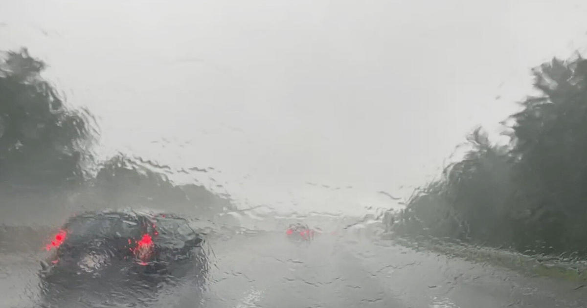
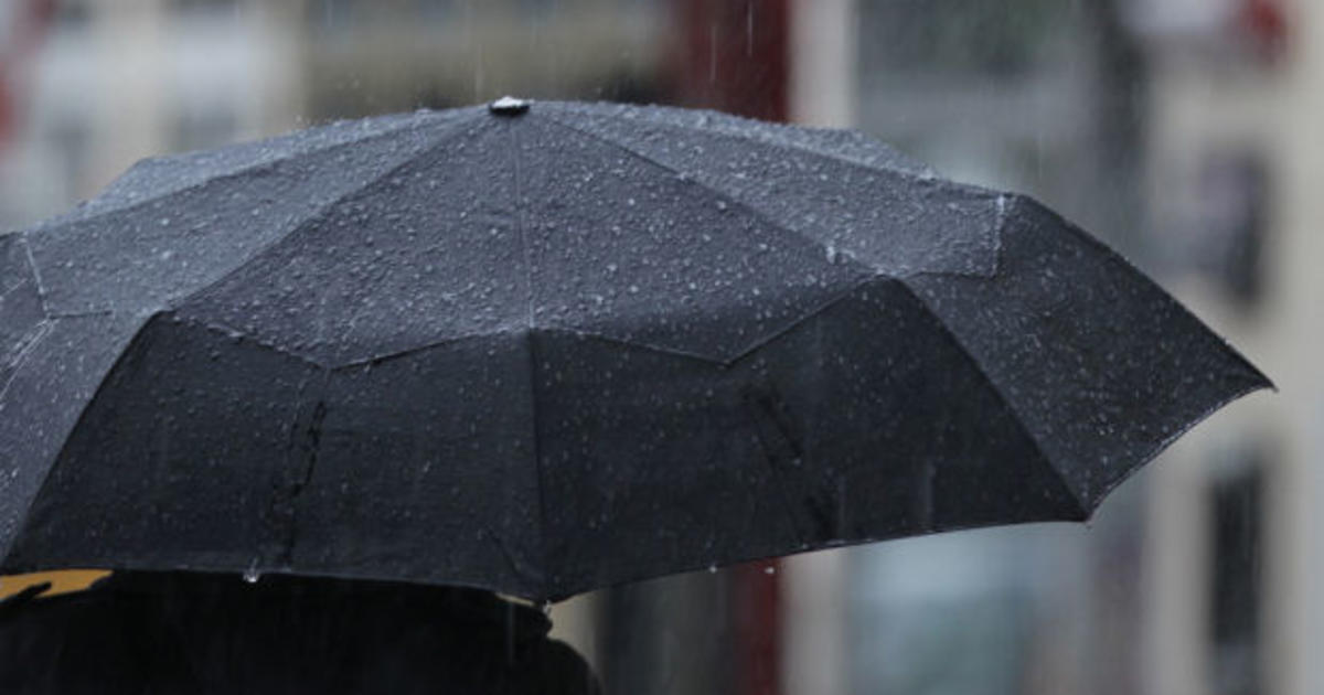
SAN FRANCISCO (CBS SF) -- Morning commuters were bundled up Wednesday as frosty temperatures blanketed the Bay Area, but the picture will be much different 24 hours later as a potent winter storm front with heavy showers rolls into the region.
Forecasters were using a single word -- "miserable" -- to described the conditions for Wednesday morning's commute as the brunt of the storm front was expected to roll through San Francisco and the central Bay Area around 6 a.m.
"The cold front is now on track to move into the North Bay early Thursday morning, San Francisco mid-morning and the Central Coast by mid-day Thursday," the National Weather Service warned. "The heaviest rain will accompany the front."
Forecasters predict that 1-3 inches of rain will fall in the North Bay and coastal mountains with a 0.25 to an inch falling elsewhere before the storm quickly moves through the Bay Area. Winds were also predicted to be gusting from 30-40 mph.
By Thursday afternoon, forecasters said, a layer of unstable cold air will be perched over the Bay Area, bringing with it the threat of hail storms and possible thundershowers.
The highest peaks around the Bay may also get a healthy dusting of snow above 3,500 feet.
"When it`s all said and done a few inches (of snow) will be possible over the higher peaks of the North and East Bay and Santa Cruz Mountains," the weather service said.
PG&E was also advising customers to have a plan for inclement weather and be prepared for unexpected power outages.
"An impactful winter storm is on the way and we're asking customers to have a plan to keep themselves and their families safe," said PG&E senior meteorologist Evan Duffey. "Our team of meteorologists is closely tracking the weather system and working with our employees in the field to stage resources and ensure we're prepared to restore power safely and quickly,"
The storm was set to bring blizzard conditions to the Sierra where higher elevations may see snow accumulations of 2 feet or more.
"The most likely timing of white-out conditions are expected ahead and along the surface and upper frontal boundaries," the weather service said. "Current timing for this is from around 7 a.m. to around 1 p.m. Thursday. This will be the most hazardous period of travel with the heaviest snowfall rates and strongest winds and 2-plus inches per hour."
Accumulations of 6-to-12 inches at lower elevations with 10-to-18 inches above 7000 feet and up to 24 inches along the Sierra crest.
Travel will be extremely hazardous on the upper passes of Highway 50 and I-80. Travelers will be forced to use chains and were warned to expect delays.
The weather service has issued a Winter Storm Warning and an Avalanche Watch for the Lake Tahoe area beginning at 7 a.m. Thursday.
"Periods of high avalanche danger may occur from Thursday morning through Friday morning," the weather service warned. "Forecast heavy snow and high wind may result in widespread avalanche activity in the mountains."
Howling winds have been an issue in the Tahoe area this week. Hurricane-force gusts were clocked at Alpine Meadows Summit, Squaw Summitt, Mammoth Mountain and the Mammoth Yosemite Airport early Tuesday, weather officials said.
The weather service labels a hurricane-force wind to be gusts or sustained breezes that top 74 mph. Early Tuesday morning, the weather recorded gusts of 137 mph at Alpine Meadows, 124 mph at Squaw Summit, 101 at Mammoth Mountain, 85 mph at Walker Lake and 79 mph at the Mammoth Yosemite Airport.