Winter Storm Front Dumps Snow By The Foot In Tahoe; Much Needed Rain In Bay Area
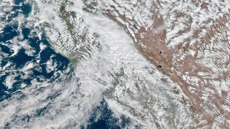
SAN FRANCISCO (CBS SF) -- After more than a month of keeping the storm door slammed shut, Mother Nature flung it open Saturday bringing much needed rain to the Bay Area and several feet of snow to the Sierra.
A high-pressure system stalled off the Northern California coast in late January, sending storm fronts north to Portland and Seattle or south to Los Angeles and San Diego.
For the first time since 1864, San Francisco endured a February without rain and the vital Tahoe snowpack began to melt away under unseasonably warm temperatures.
But those conditions dramatically changed over the last 24 hours and wintry storm system rolled into the Bay Area and the Sierra beyond.
"A distinct line of moderate showers moved through the heart of San Francisco Bay as of 8:30 a.m," the National Weather said. "The passing front has brought a few hundredths up to one half inch of rain across the North Bay. Interesting to note this is likely some of the highest rainfall totals in a short amount of time since late January."
By noon, San Francisco had received almost half an inch, Oakland 0.28, Mount Diablo 0.47 and Dublin two-tenths of an inch. The showers appeared to be mostly concentrated in the central Bay Area while Santa Rosa to the north and San Jose to the south got barely traceable levels of the precipitation.
However, the main event of the storm was saved for the Sierra. The National Weather Service issued a winter storm warning for the Lake Tahoe area until Monday morning.
"Heavy snow expected," the weather service said. "Total snow accumulations of 12 to 24 inches, with 2 to 4 feet above 7000 feet. Winds gusting as high as 50 mph with ridge winds gusting to 100 mph."
Forecasters said conditions will deteriorate as the day progresses.
"Heavier snow showers are expected behind a cold front, which will exit the area later this morning," NWS forecasters in Sacramento said. "Snowfall amounts could exceed an inch or more an hour over the northern Sierra later this afternoon. Heaviest snow is expected tonight into early Sunday evening."
Northstar resident Mark Jarvis took to Twitter to post a remarkable side-by-side video.
The California Highway Patrol was reporting that chains were being required on the mountain passes on I-80 and Highway 50. It was a slow go and the CHP said to plan on delays.
The sudden accumulation of snow will also bring with it danger of slides and avalanches.
"As the new snow piles up, keep in mind that avalanche danger will also be increasing," NWS forecasters in Reno warned. "The Sierra Avalanche Center has issued an Avalanche Watch through the weekend."