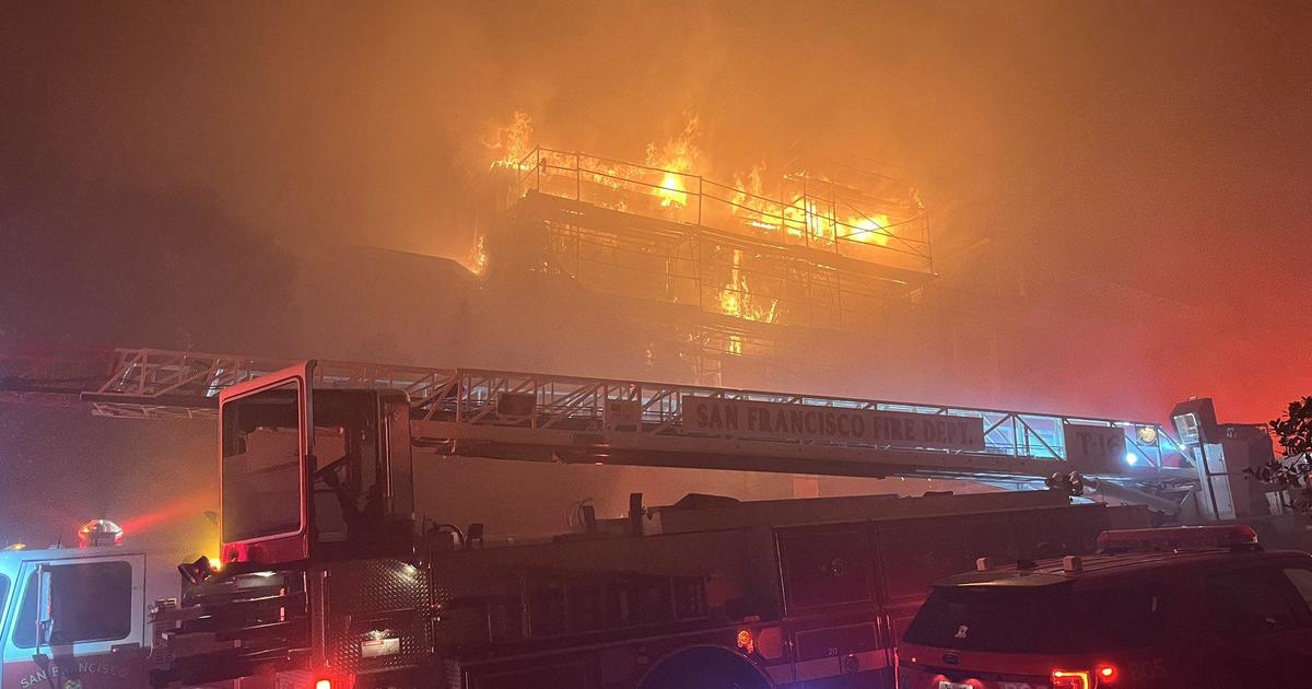
UPDATE: Dolan Fire In Monterey County Tops 111,000 Acres; Injured Firefighters Improving
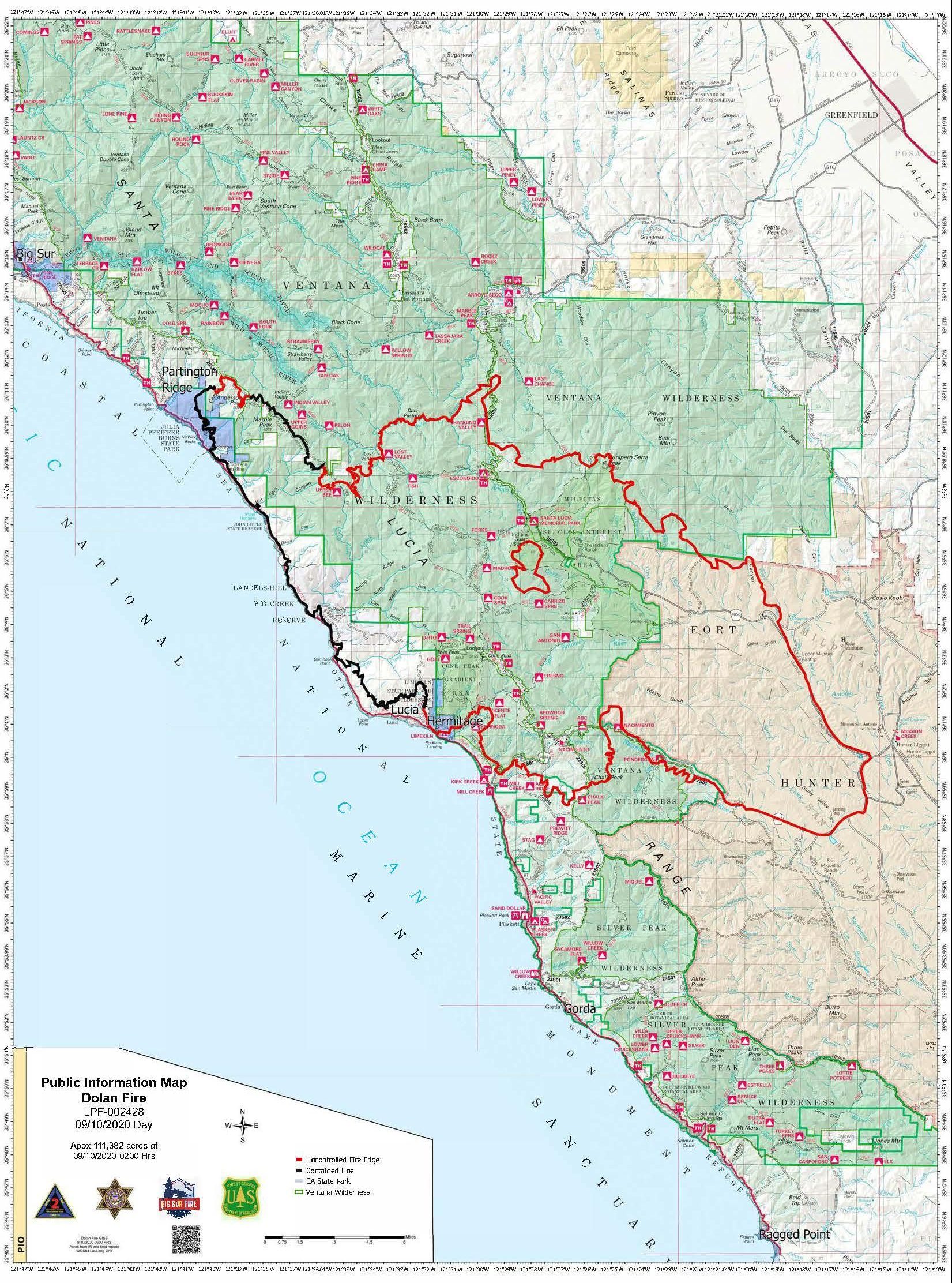
MONTEREY COUNTY (CBS SF) -- The Dolan Fire burning in Monterey County has spread along the north and east edges of the wildfire and has now burned at least 111,382 acres as of Thursday morning, according to the U.S. Forest Service.
The containment of the fire has edged up to 26 percent, with containment on the west side by U.S. Highway 1 and by burnout operations on the south side of the fire along the Nacimiento-Ferguson and Del Venturi Roads and around Fort Hunter Liggett. Those operations were also supported by aircraft retardant and water drops, fire officials said.
Three firefighters injured in during a fire shelter deployment were recovering. Two of the firefighters involved have been released from the hospital and the third - who had been in critical condition - was in stable condition as of Thursday and will be released this week, the forest service said.
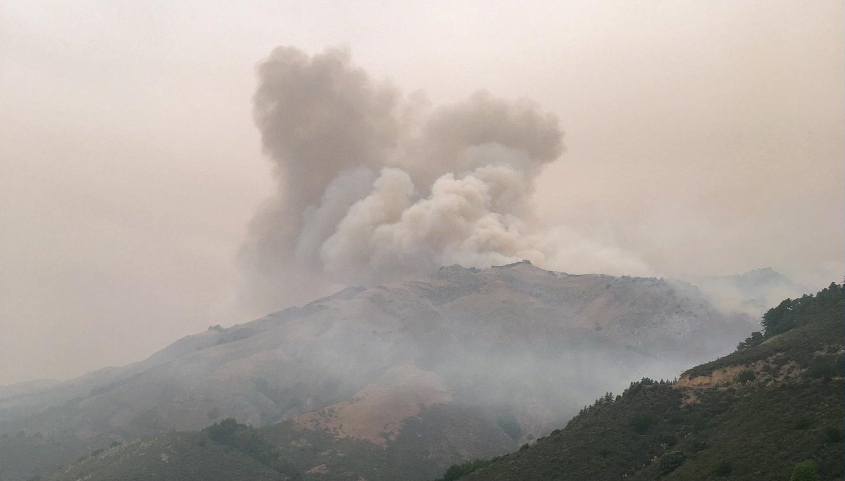
Fire activity was minimal overnight due to cooler temperatures and higher relative humidity levels, the forest service said. While fire activity along the coast has lessened, there are still areas of active burning, and rocks and other debris continue to fall regularly onto Highway 1, which remains closed from Gorda to three miles north of Slate Hot Springs.
FULL COVERAGE: Northern California Wildfires
The Dolan Fire was threatening infrastructure along Highway 1 after flames denuded the hillside above the highway, which could lead to slides that bury parts of the road during the rainy season.
Caltrans District 5, which covers Monterey and San Luis Obispo counties, has contracted with San Luis Obispo construction firm for a $2 million project to install emergency drainage measures in the area affected by the Dolan Fire, according to a Caltrans news release.
Since the start of the fire on August 18, 14 structures have been destroyed and four others damaged.
On Thursday, crews will scout for opportunities to secure the fire's edge down to the North Coast Road. Along the south edge firefighters will continue burnout operations utilizing dozer lines and air support to connect line protecting Prewitt Ridge. Crews will secure structures in Mill Creek and work from Kern Ridge down to Highway 1.
Firefighters also planned to clean up and secure the edge around recent firing operations near Hermitage to protect structures and will continue constructing indirect line east of Arroyo Seco and tie back to Lees Canyon to Fort Hunter Liggett.
There were mandatory evacuation orders in areas of Lucia, Gorda, Prewitt Ridge Road, and South Coast Ridge Road. Current evacuation orders and warnings can be found at the Monterey County Office of Emergency Services website.
SCPA Monterey County can assist with rescuing, sheltering, and evacuating animals. Call 831-373-2631 – day; 831-264-5455 – night; or email www.spcamc.org.