National Weather Service Adds Surf Warning To Weekend Fire Advisory
BAY AREA (CBS SF) -- Weather will pose a danger to Bay Area residents with a higher risk for rip currents and big surf at local beaches in addition to an already announced weekend Fire Weather Watch starting Saturday, according to the National Weather Service.
A larger northwest swell first visited local beaches starting early Wednesday evening, bringing with it larger waves and increased risk from rip currents.
The Weather Service issued a statement on increased danger from large waves of 15 to 20 feet and rip currents Wednesday morning via its Twitter account.
On Tuesday, the Bay Area office for the NWS issued a Fire Weather Watch for portions of the North and East Bay starting Saturday morning due to heat, low humidity and higher winds.
ALSO READ:
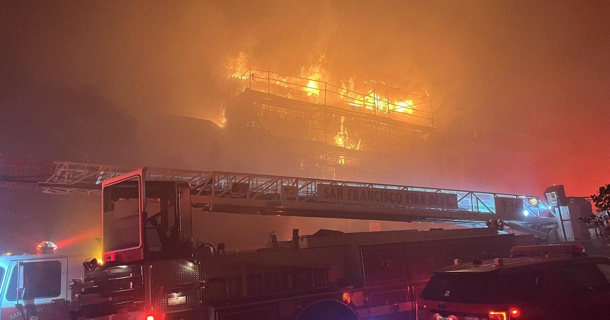
- Wildfire Smoke Expected To Return To Bay Area Skies On Friday; Air Quality Advisory Issued
- Yosemite Set To Reopen Friday After Closure Due To Wildfire Smoke
- Weekend Fire Weather Watch Issued For Parts Of North And East Bay
A combination of moderate strength fall offshore winds, warmer temperatures and low humidity forecast for Saturday led to the Fire Weather Watch for the North and East Bay Hills, according to the NWS.
The Fire Weather Watch will begin Saturday at 11 a.m. and run through 8 a.m. Monday morning. While the greatest threat is expected in the North Bay -- particularly in the hills of northeast Sonoma County and Napa County above 1,000 feet -- parts of the East Bay around Mount Diablo and the East Bay hills as well as the interior valleys along the I-680 corridor, I-580 east of the Altamont and the Highway 4 corridor will also be impacted.
"Those areas are usually the most vulnerable," said Gerry Diaz, a meteorologist with the National Weather Service.
Hundreds of thousands of acres have burned already this year in and around the Bay Area.
The strongest winds are forecast for Saturday night into early Sunday morning
with preliminary forecasts calling for wind gusts to around 50 mph in the hills above 1,000 feet.
Winds help to spread fires, and contributing to the increased risk for fires will be the poor overnight humidity recoveries, which means the vegetation will be drier.
"Dry and hot," Diaz said. "That set's up a dangerous situation where all it takes is one spark to get things going."
Inland Bay Area locations will see temperatures rise 15 to 20 degrees relative to the recent milder weather. Coastal areas will see temperatures rise 10 to 15 degrees.
There is special concern in the hills of Oakland and Berkeley where partiers have been setting off fireworks late at night. Also, on the other side of the tunnel, Contra Costa County authorities are keeping a close eye.
So far, this fire season, they have dodged a bullet. They are hoping to keep it that way.
"The important thing for people to remember is that conditions are ripe for wildfires," said Steve Hill, spokesman for Contra Costa Fire and Rescue. "We're only just getting to the part of the season that is typically the most dangerous. It looks like mother nature is coming in right on time this weekend with what looks like fire weather. We need everyone to be alert and to be cautious with all their outdoor activities. And to report those fires absolutely immediately when they notice them to keep them small while they still are small."
So far, PG&E says it has no plans to shut off power for the Bay Area. However, they may execute a PSPS in other parts of Northern California.
While no red-flag fire warnings have been issued for the weekend, the possibility of wildfire smoke returning to the region has prompted an Air Quality Advisory for the Bay Area on Friday.
The Bay Area Air Quality Management District issued the advisory on Thursday, as smoke from the August Complex Fire burning in the Mendocino National Forest is expected to drift into the North Bay and parts of the East Bay, causing hazy skies.
© Copyright 2020 CBS Broadcasting Inc. and Bay City News Service. All Rights Reserved. This material may not be published, broadcast, rewritten or redistributed.