Heavy Snowfall, 100 MPH Winds Batter Lake Tahoe Area
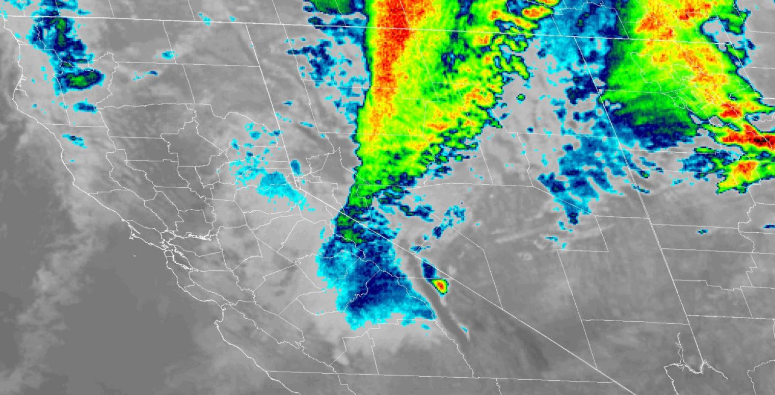
TRUCKEE (CBS SF) -- The winter storm front that brought rain to the San Francisco Bay Area was triggering high winds, slow travel and as much as a foot of new snow in the Lake Tahoe region on Wednesday.
The National Weather Service has issued a winter storm warning for the Tahoe basin and the surrounding ski resorts until at least 6 p.m. Wednesday.
"Avoid travel over passes if possible," the weather service warning. "If you must travel, prepare for long delays and carry an emergency kit with extra food, water and clothing. If you stay home, have a backup plan in case of power outages."
KPIX 5 Weather Center: Current Conditions, Maps, Forecasts For Your Area
Forecasters said winds topping 100 mph were possible over the ridgetops of the Sierra.
At Lake Tahoe, up to a half-foot of heavy, wet snow is expected at lake level by Wednesday, with winds gusting to 60 mph. Between a foot and 18 inches of snow is possible at elevations above 7,000 feet.
The service warned of hazardous boating conditions on the lake, where waves are expected on the northern waters from 3 to 6 feet.
Elsewhere, six inches of snow and winds gusting to 70 mph were in the forecast near Susanville, where the service said blowing snow could reduce visibility at times Tuesday evening into Wednesday.
A secondary wave of stormy weather will begin to move through Northern California on Wednesday, which should result in more snowfall.