Dramatic Satellite Photos Show Storm's Impact On Bone-Dry Northern California
SAN FRANCISCO (CBS SF) -- Sometimes you need a 10,000-foot or even higher view to get the true impact of an event. Take the recent potent winter storm that dumped up to 10 feet of the snow before it moved eastward.
NASA and the National Weather Service have released satellite photos of the Sierra on Jan. 20 and Jan. 30.
The mounting snowpack may get another foot or more of additional snow over the next 72 hours as a new system was advancing toward the Bay Area and Northern California on Sunday evening.
"Total snow accumulations of 3 to 7 inches, except 8 to 18 inches above 7000 feet possible," the weather service said. "Highest totals will be near and west of Highway 89. Winds could gust as high as 60 mph across higher elevations of the Sierra."
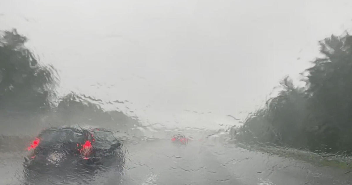
In the San Francisco Bay Area where 3-9 inches fell during last week's storms, forecasters said as much as 1 1/2 inches could fall by Tuesday night.
"The Bay Area will generally be around a half inch, locally up to 0.75 inch," NWS forecasters said. "Farther south, expect a third of an inch to a half inch for inland and valley locations with an 1-1.5 inches in the Santa Cruz and Big Sur mountains. The good news is that the rain should be fairly steady so no concerns of heavy, intense rain rates."
Any rain is a welcome relief for the region where tinder-dry hills helped fuel a historic wildfire system last fall.
Before last week's storm arrived in Northern California, the region was under severe to extreme drought conditions according to the U.S Drought Monitor.
Between Oct 1-Jan 26, San Francisco had received just 3.33 inches of rain. Over a 72-hour span last week, that total climbed to 5.39 inches -- 41 percent of the annual rainfall total, according to the weather service.
In Oakland, the total was 2.51 inches before the storm and stood at 4.20 inches when the rains passed -- 38 percent of the annual average cumulation.
The news was even better for the South Bay -- hammered by the storm front -- where San Jose saw its yearly total jump to 3.80 inches or 50 percent of its annual average with Salinas seeing its yearly total jump to 4.40 inches or 70 percent of its annual average precipitation.
While it was a good week, Department of Water Resources spokesperson Chris Orrock says we need more.
"The ground was so dry that a lot of the moisture was absorbed into the soils instead of running off into our reservoirs and streams," said Orrock.
RELATED:
- VIDEO: Drone Footage Reveals Extent Of Storm Damage At Highway 1 Washout South Of Big Sur
- Gov. Newsom Declares State of Emergency for Storm-Damaged Monterey, San Luis Obispo Counties
- Heavy Rains Help Northern California Water Supply, But More Needed
- Two Horses Rescued In Monterey County After Being Stuck in Mud For 18 Hours
- Landslide Topples PG&E Truck Down Rain-Soaked Aptos Hillside
- Clean Up Begins After Carmel River Floods Homes In Monterey County
- Fierce Storm Winds Rip Apart Marina in the Delta
- Teen Rescued From Roof Avalanche; Tahoe Buried By Nearly 6 Feet Of Snow