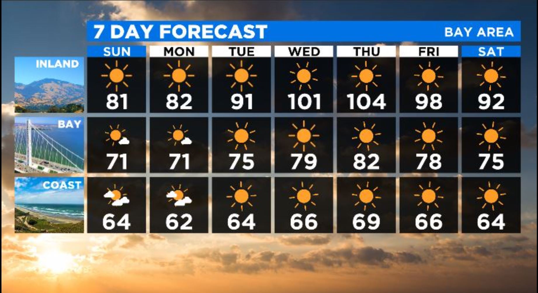
UPDATE: Temperatures Will Soar Into Triple Digits By Mid-Week
SAN FRANCISCO (CBS SF) -- Temperatures will begin a steep climb Wednesday, reaching triple digits for communities away from the coast, straining California's power grid and sucking out even more moisture from the already tinder-dry hills, fields and forests.
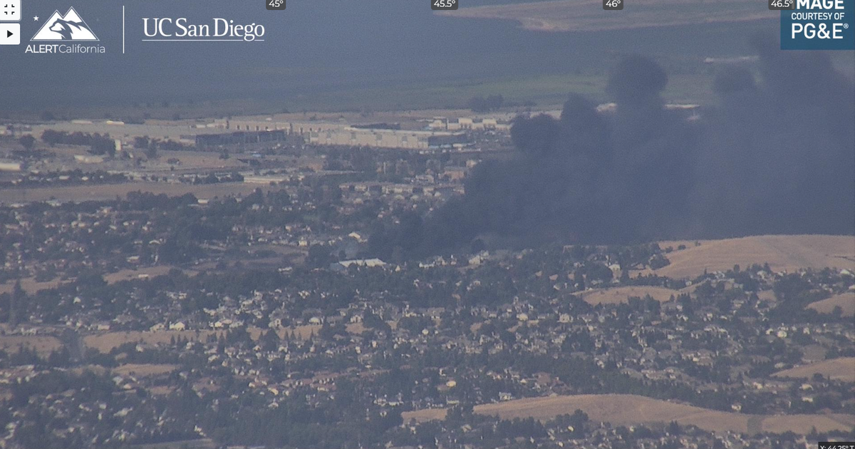
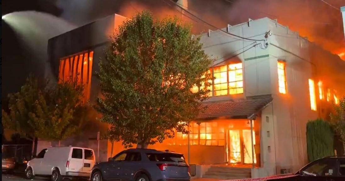
An extreme drought continues to strengthen its grip on the San Francisco Bay Area and will only worsen with the combination of high temperatures and low humidity.
Healdsburg officials have unveiled tough new restrictions on water use including limiting individuals to 74 gallons a day and ordering sprinklers and drop irrigation system to be shut down immediately.
With no significant rain showers likely for several months, Lakes Sonoma and Mendocino -- vital sources of water -- are at their lowest levels ever for this time of year.
"Our end goal is to insure that we have adequate drinking water and are able to flush our toilets come October and November seems to be a good motivation," said Healdsburg conservation analyst Felicia Smith.
KPIX 5 meteorologist Darren Peck said Bay Area will begin noticing a rapid rise in temperatures on Tuesday. By Thursday, inland communities could see temperatures hovering around 104 in Pleasanton, Livermore and elsewhere.
"Inland locations will experience temperatures 20 degrees above average," Peck predicted. "Closer to the Bay -- Oakland, for example -- will only be 10 degrees above average. Still warm but not as intense. This is thanks to the marine layer still exerting an influence for those parts of the Bay with direct access to a sea breeze."
The National Weather Service has already issued an excessive heat warming for parts of San Luis Obispo County and the Central Valley beginning on Wednesday morning.
"A significant heat wave will bring temperatures to near record levels starting Tuesday and continuing through the end of the week," weather service forecasters said. "Dangerously hot conditions with temperatures up to 108 possible."
"The center of high pressure will be focused to our east," Peck added. "Meaning the worst of the heat will be felt in the Central Valley where NWS has already issued an excessive heat watch. They did this 5 days out which is very early and says a lot about the level of concern for that part of the state regarding heat related illness impacts."
Soaring temperatures also always put a strain on the state power grid. On Saturday, the California Independent System Operator issued a Heat Bulletin in advance of high temperatures.
"It is still too early to know the precise impact that ... high temperatures will have on the electric grid," the agency said in a news release. "But ISO is closely monitoring conditions and the anticipated increase in demand for electricity and will issue additional public notifications as warranted."
The key time frame for power use will be between 4 p.m. and 9 p.m.
"In extreme hot weather, those are the most difficult hours of the day to balance electricity supply and demand because solar resources are diminishing as more air conditioners and other home appliances are typically being used," the agency said.
"In the past, Californians responding to calls for conservation has significantly reduced stress on the grid and avoided further emergency actions, including the need to rely on reserve power resources or rotating outages. But as happened during an intense regional heat wave last August that hit much of the Western U.S., rotating power outages could become necessary if weather and stressed grid conditions persist or worsen."