UPDATE: Tamarack Fire Evacuation Orders Expanded; Rain Could Trigger Mudslides In Area
MARKLEEVILLE, Alpine County (CBS SF) -- Additional mandatory evacuations were ordered in areas around the Tamarack Fire Monday as authorities warned of possible mudslides or debris flows because of rain forecast for the region.
The Alpine County Sheriff's Office ordered the mandatory evacuation of Blue Lakes Road which runs west of the fire perimeter. The evacuation is in addition to existing evacuations for Markleeville, Grover's Hot Springs Park and Campground, Shay Creek, Markleeville Village, the Poor Boy Road area, Carson River Resort, Sierra Pines, Upper and Lower Manzanita, Crystal Springs, Diamond Valley Road, Hung A Le Ti, Alpine Village and Woodfords.
The Alpine and El Dorado County sheriff's offices on Monday said they are providing escorts for evacuated residents to secure pets, papers and other emergency items. The escorts will take place from 4 p.m and 8 p.m. Monday. Future dates for additional escorts will be determined based on the current fire activity.
Anyone interested in the assistance is advised to go to Mad Dog Cafe at 290 Old Pony Express Way in Markleeville.
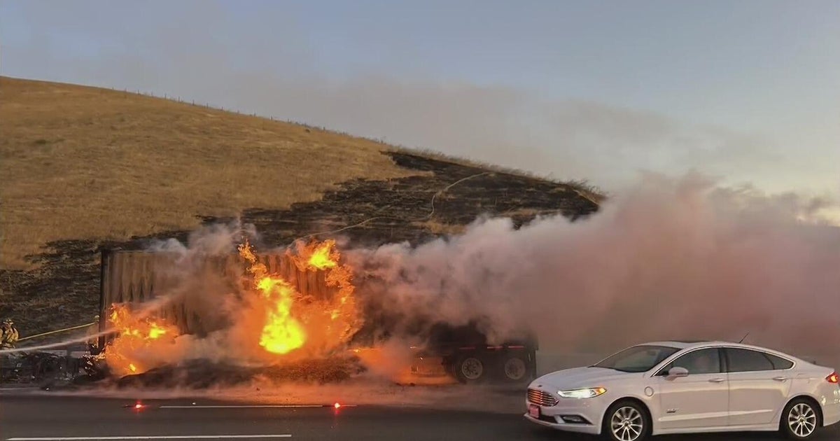
ALSO READ: Dixie Fire Explodes In Size to 40,500 Acres; Blown PG&E Power Line Fuses May Have Started Blaze
The U.S. Forest Service said there was a 60 percent chance of rain Monday, with a possibility of flooding in drainages and debris flows on steep terrain in the fire area. Even if the area receives rain, the fire could remain active, the forest service said.
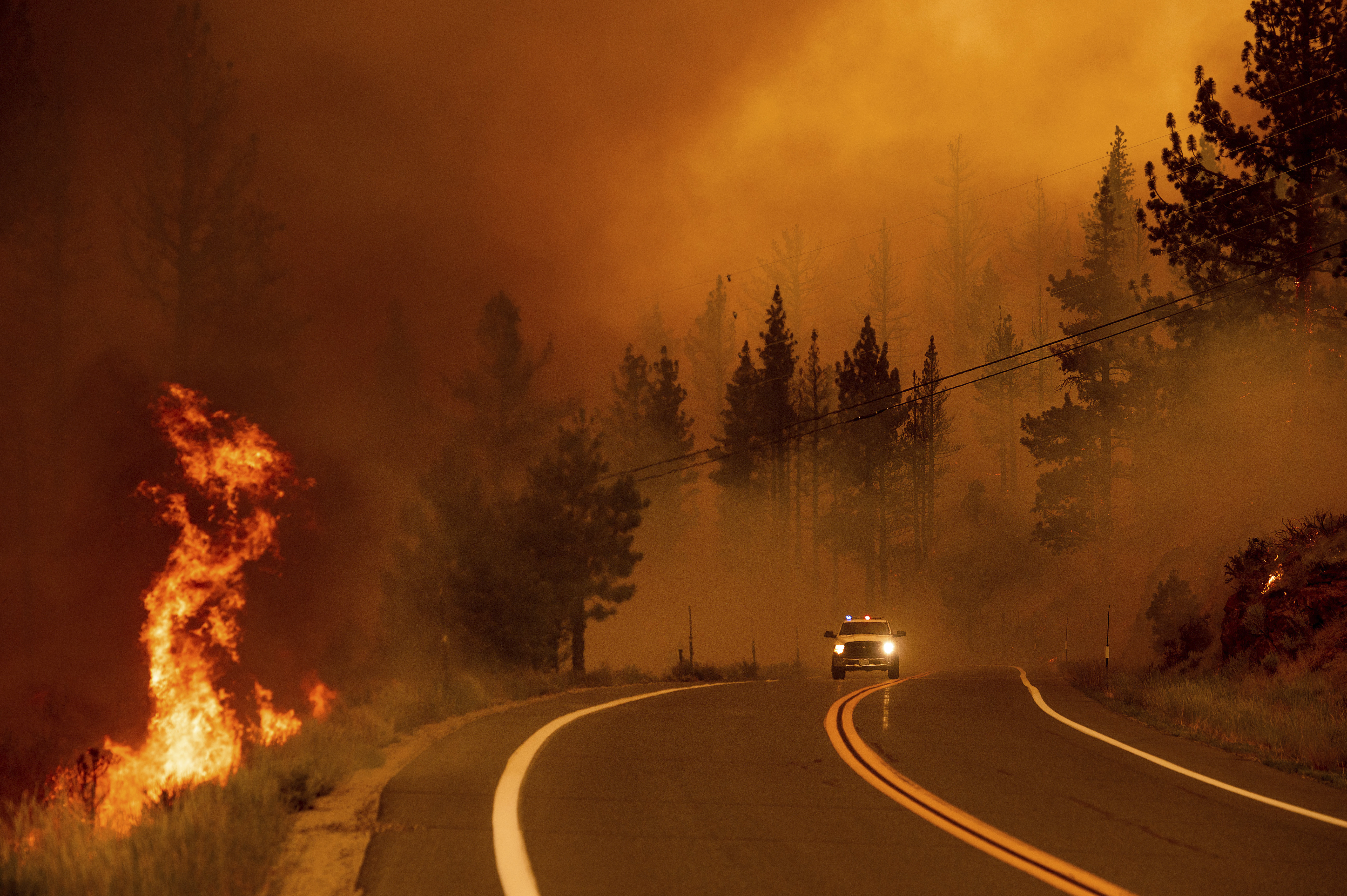
The wildfire also forced the closure of Highway 89 at the Highway 4 intersection. Highway 4 remains open west of the junction. The latest reports on the incident estimated the Tamarack Fire has burned more than 25,000 acres as of Monday afternoon.
On Sunday, the advancing flames forced federal park officials to shut down he Pacific Crest Trail was also closed between Carson Pass (Highway 88) and Ebbetts Pass (Highway 4). The trail spans 2,650 miles from Mexico to Canada and has attracted thousands of hikers. It is divided into five regions: Southern California, Central California, Northern California, Oregon, and Washington.
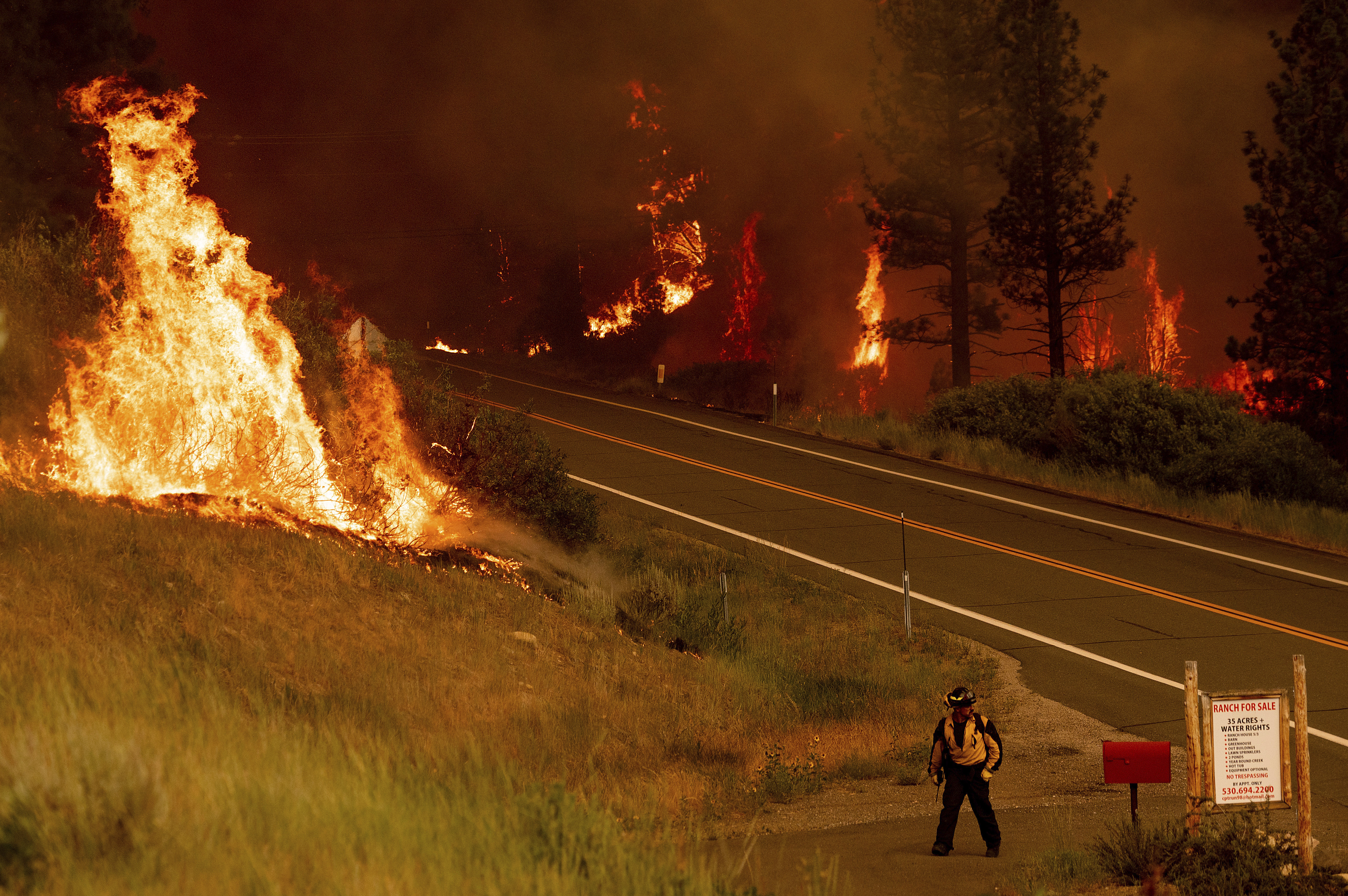
Over the weekend, a determined band of firefighters battled the Tamarack Fire's advancing flames, keeping the blaze from entering the heart of the evacuated Sierra community of Markleeville. The fire had consumed 23,078 acres as of Monday morning with no containment.
The fire began as a small smoldering blaze ignited by lightning over the July Fourth holiday. The fire roared to life on Friday, quickly growing from 500 acres to more than 18,000 acres over the next 36 hours.
There was zero containment, but the rapidly growing number of firefighters brought in to battle the flames appeared to have save much of Markleeville after the fire nearly encircled the community on Saturday. The fire was advancing to the north away from the small mountain community.
The blaze initially overwhelmed the 50 firefighters who were monitoring the fire. By Monday morning, the of number of firefighters had swelled to over 750.
Among those forced from their homes was Rodney Pryor, who lives in Shay Creek.
"They gave me a good couple of hours before they said, 'You gotta get out now!'" he said. "So I got a whole lot of stuff into my RV. All my valuable things."
The National Weather Service said thunderstorms were expected Monday south of U.S. Highway 50 between 10 am and 1 pm and moving northward. More isolated storms were likely around the Reno-Carson and Tahoe regions, and into northwest Nevada and far northeast California.
Aside from flash flood concerns for recent burn scars and steep terrain, other impacts include gusty and erratic outflow winds, hail, and frequent lightning, in addition to the localized heavy rainfall.
There was also risk for a larger area of blowing dust moving across parts of west central Nevada later Monday and into the evening, producing rapid drops in visibility.
Earlier, the weather service had issued a Red Flag Warning for the region starting at 11 a.m. Sunday and running until Monday morning. Dry lighting was also expected to rumble through the Tahoe area, heightening the wildfire threat.
Winds were expected to gust to 40 mph.
"A Red Flag Warning means that critical fire weather conditions are either occurring now, or will shortly," weather forecasters said. "A combination of strong winds, low relative humidity, and warm temperatures can contribute to extreme fire behavior."
At least two structures have been destroyed.
The fire forced the cancellation of Saturday's "Death Ride," a 103-mile bicycle ride in the so-called California Alps over three Sierra Nevada mountain passes.
Kelli Pennington and her family were camping near the town Friday so her husband could participate in his ninth ride when they were told to leave. They had been watching smoke develop over the course of the day but were caught off guard by the fire's quick spread.
"It happened so fast," Pennington said. "We left our tents, hammock and some foods, but we got most of our things, shoved our two kids in the car and left."
Paul Burgess, who drove from Los Angeles to participate in the ride, said most of the cyclists he met were thankful to steer clear of the fire danger.
"They just said this is just how it goes," Burgess said. "It's part of climate change to a certain extent, it's part of just a lot of fuels that are not burnt, the humidity is low, the fuel moisture levels are low, and ... around the state, many parts of it are much like a tinderbox."
For long-time residents, the flames and evacuation brought back memories of the 2012 Acorn Fire which burned through the area.
"Everything here has been rebuilt and this is the second time this area has been threatened," said local resident Andrea Fierle.
© Copyright 2021 CBS Broadcasting Inc. All Rights Reserved. The Associated Press contributed to this report.