UPDATE: Caldor Fire In Sierra Tops 53,000 Acres; New Evacuations Ordered For Kyburz
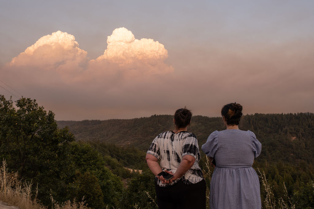
EL DORADO NATIONAL FOREST (CBS SF/AP) -- The Caldor Fire burning in the Sierra Nevada ballooned overnight to more than 53,000 acres, sweeping through the El Dorado National Forest in what fire officials called "unprecedented fire behavior."
Gusty winds and tinder-dry trees have helped fuel the fire, more than doubling its size since Tuesday evening. There is zero containment as of Wednesday morning.
The fire's northern edge has reached U.S. Highway 50 and the advancing flames prompted new evacuation orders which include the community of Kyburz.
The U.S. Forest Service has announced a complete shutdown of the El Dorado National Forest because of the fire.
Raw Video: Caldor Fire Burns Along Mormon Emigrant Trail
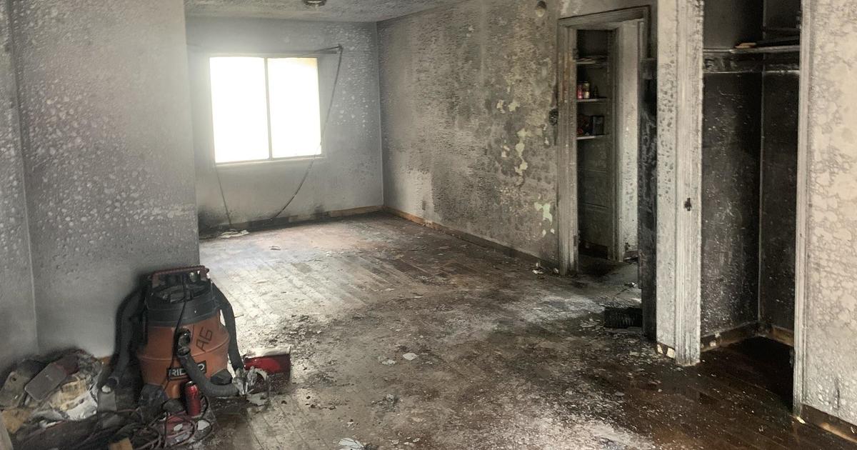
Fire officials estimated that at least 50 homes had burned in the Grizzly Flats area since the fire erupted Saturday and two people were hospitalized with serious injuries.
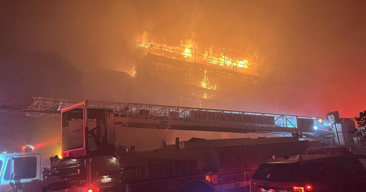
According to a statement from fire officials Wednesday, the fast-changing nature, complexity and immediate needs of the fire incident have prevented crews from assessing the true number of destroyed homes and other structures. In addition, fire crews have been stretched because of personnel being redirected to other Northern California fires, including the massive Dixie Fire spanning four counties in the upper Sierra Nevada range.
A Red Flag Warning was in effect in the fire area through 8 p.m. Wednesday because of shifting winds, low humidity, and extremely dry fuels.
Gov. Gavin Newsom has proclaimed a state of emergency in El Dorado County because of the wildfire.
CALDOR FIRE: Incident Information, Evacuations, Maps
Current mandatory evacuations include:
- Grizzly Flat: The areas on Grizzly Flats Road east of Kendra Way into Grizzly Flats Proper. The areas of Diamond Railroad Grade, Old School House, Sweeney Road, Caldor Road, and steely Ridge.
- Grizzly Flats Road east of four corners in Somerset into Grizzly Flats Proper. The areas of Myers Lane, Varmet Ridge Road, Rodwell Canyon Road, Snowbird Lane, and Mehwald Lane.
- East of Sly Park Road between Highway 50 and Mormon Emigrant Trail to Ice House Road. This includes the communities of Pacific House and Fresh Pond.
- North of Highway 50 ,east of Forebay Road to Ice House Road.
- Intersection of Perry Creek and Hawk Haven , the East side of Fairplay Road from Perry Creek South to Cedarville Road. This includes Slug Gulch, Omo Ranch, and all roads off of Slug Gulch and Omo Ranch.
- All roads off of Omo Ranch from Cedarville Road to Hwy 88.
- The area between Highway 88 and Mormon Emigrant Trail
- South of Highway 50 from Snows Road to Ice House Road.
- Between Highway 50 and Slab Creek from Snows Road to Ice House Road.
- South of Highway 50 from Ice House Road to Silver Fork Road. This includes the community of Kyburz.
- North of Highway 50 from Ice House Road to Silver Fork Road to include Ice House Reservoir, Union Valley Reservoir, and Loon Lake.
"We know this fire has done things that nobody could have predicted, but that's how firefighting has been in the state this year," El Dorado National Forest Supervisor Chief Jeff Marsolais said at a briefing.
Few homes were left standing in Grizzly Flats, where streets were littered with downed power lines and poles. Houses were reduced to smoldering ash and twisted metal with only chimneys rising above the ruins. A post office and elementary school were also destroyed.
Derek Shaves, who had evacuated late Monday, said he visited the town Tuesday and saw his home and most of the houses in his neighborhood had been destroyed.
"It's a pile of ash," he said. "Everybody on my block is a pile of ash and every block that I visited — but for five separate homes that were safe — was totally devastated."
Raw Video: Aftermath of Caldor Fire in Grizzly Flats
Late Tuesday, Pacific Gas & Electric said it has begun shutting off power to as many as 51,000 customers in 18 Northern California counties to prevent wildfires for the first time since last year's historically bad fire season.
The utility said the shutoffs were focused in the Sierra Nevada foothills, the North Coast, the North Valley and the North Bay mountains and could last into Wednesday afternoon.
The nation's largest utility announced the blackouts as a precaution to prevent gusts from damaging power lines and sparking blazes.
PG&E has notified utility regulators that the massive Dixie Fire may have been caused by trees falling into its power lines. The Dixie Fire began near the town of Paradise, which was devastated by a 2018 wildfire ignited by PG&E equipment during strong winds. Eighty-five people died.
The Dixie Fire is the largest of nearly 100 major wildfires burning across a dozen Western states, including Alaska. The wildfires, in large part, have been fueled by high temperatures, strong winds and dry weather.
Climate change has made the U.S. West warmer and drier in the past 30 years and will continue to make the weather more extreme and wildfires more destructive, according to scientists.