UPDATE: Caldor Fire Still 0% Contained After 7 Days, Forces Closure Of National Parks
EL DORADO NATIONAL FOREST (CBS SF) -- After seven days, the Caldor fire in the Sierra Nevada continued burning unabated Saturday morning, forcing the closure of several national parks, according to Cal Fire officials.
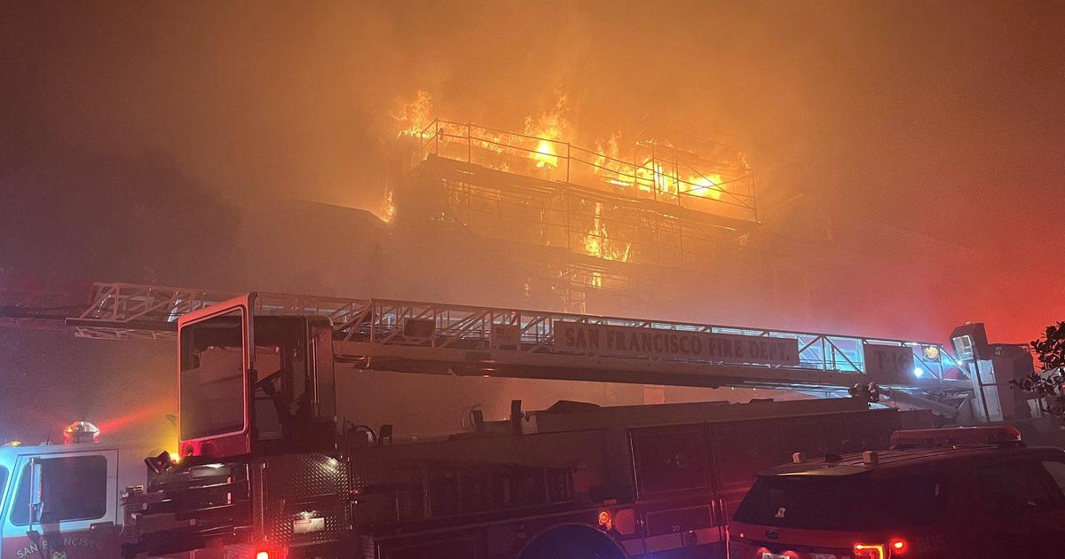
Spot fires and historically dry conditions in the northern part of California helped the fire grow to 82,444 acres Saturday. But Cal Fire representatives also noted that increasing humidity helped fire crews hold containment lines.
The growing fire, started by unknown causes last Saturday, prompted the USDA Forest Service Pacific Southwest Region to temporarily close nine National Forests. Beginning Sunday, Aug. 21, these parks and the roads and trails inside them will be off limits to visitors until Sept. 6. Read the announcement for more information.
CALDOR FIRE: Incident Information, Evacuations, Maps
The northern part of California remained under Fuels and Fire Behavior Advisory Saturday. Dozens of homes have burned in the Grizzly Flats area and two people were hospitalized with serious injuries earlier this week. The fast-changing nature of the fire has prevented crews from determining exactly how many structures have been lost. Cal Fire did not provide an update on the number of structures damaged and destroyed Saturday, but did update on evacuation orders and road closures:
EL DORADO COUNTY - ORDERS
- Grizzly Flat: The areas on Grizzly Flats Road east of Kendra Way into Grizzly Flats Proper. The areas of Diamond Railroad Grade, Old School House, Sweeney Road, Caldor Road, and steely Ridge.
- Grizzly Flats Road east of four corners in somerset into Grizzly Flats Proper.
- The areas of Myers Lane, Varmet Ridge Road, Rodwell Canyon Road, Snowbird Lane, and Mehwald Lane.
- East of Sly Park Road between Highway 50 and Mormon Emigrant Trail to Ice House Road. This includes the communities of Pacific House and Fresh Pond.
- North of Highway 50, east of Forebay Road to Ice House Road.
- Intersection of Perry Creek and Hawk Haven, the East side of Fairplay Road from Perry Creek South to Cedarville Road.
- This includes Slug Gulch, Omo Ranch, and all roads off of Slug Gulch and Omo Ranch.
- All roads off of Omo Ranch from Cedarville Road to Hwy 88.
- The area between Highway 88 and Mormon Emigrant Trail
- South of Highway 50 from Snows Road to Ice House Road.
- Between Highway 50 and Slab Creek from Snows Road to Ice House Road.
- South of Highway 50 from Ice House Road to Silver Fork Road. This includes the community of Kyburz.
- North of Highway 50 from Ice House Road to Silver Fork Road to include Ice House Reservoir, Union Valley Reservoir, and Loon Lake.
- Silver Fork Road in Kyburz east to Twin Bridges.
- North and south in a line extending from Twin Bridges to the Placer County line and south to the Amador County line.
EL DORADO COUNTY – ROAD CLOSURES
- Highway 50 will be closed in both directions from the Sly Park Road exit to Twin Bridges.
- Highway 50 will be open between Meyers and Twin Bridges for local residents only who reside between Meyers and Twin Bridges. These residents will be subject to providing identification and proof of residency. No traffic will be allowed west past Twin Bridges.
For more information on evacuation warnings, visit the Cal Fire website.