Caldor Fire: 'Pivotal Day' In Protecting Lake Tahoe; 4,000 Acres Burn Overnight
EL DORADO COUNTY (CBS / AP) – Firefighters faced a critical day in efforts to prevent the massive Caldor Fire from reaching the Lake Tahoe resort region Saturday, fearing that hot, gusty winds could fuel the stubborn blaze.
The Caldor Fire churned through mountains just southwest of the Tahoe Basin, cloaking much of the area in toxic smoke and sending tourists packing at a time when summer vacations would be in full swing ahead of the Labor Day weekend.
As of Saturday morning, Cal Fire said the blaze has burned 149,684 acres (233.88 square miles), up from 145,463 acres as of Friday night. Containment has reached 19%.
Hot winds gusting at up to 35 mph (56 kph) were forecast for Saturday, raising concerns that winds could spread the embers from the tops of bone-dry trees and spark new fires.
"It's going to be a very pivotal day for us," said Capt. Stephen Horner, a Cal Fire spokesman for the Caldor Fire.
The fire's eastern edge was about 7 or 8 miles (11 or 13 kilometers) from the city of South Lake Tahoe and did not advance much overnight thanks to operations known as "backfiring," where firefighters get ahead of the blaze and burn up fuel so the fire has nothing to ignite, said Horner.
"They did backfiring operations that were nothing short of amazing last night in that area," Horner said.
In a video update posted Saturday morning, Cal Fire operations section chief Eric Schwab also noted the progress made along the eastern edge of the fire.
"This area, they made huge progress, a 30 hour firefight," Schwab said. "That line is in there, now the hard part is we have to hold it and get it mopped up over the next 72 hours."
On the western part of the fire, new evacuation orders were issued Friday night in El Dorado County along Pleasant Valley Road and all intersecting roads from Newtown Road to Mt. Aukum Road and all roads accessed from Mt. Aukum Road between Pleasant Valley and Bucks Bar roads.
By Saturday, Schwab noted the work that was done in the area overnight.
"That area spotted on us and came out of our control lines. We worked all through the night last night, we were able to pick up control, get lines established," he said. "Unfortunately that movement did trigger an additional evacuation order, but again we're making progress to control the fire to get folks back in."
Schwab said at the conclusion of his briefing, "Still a lot of work, a lot of challenges and complexities on this fire but we are starting to make good progress."
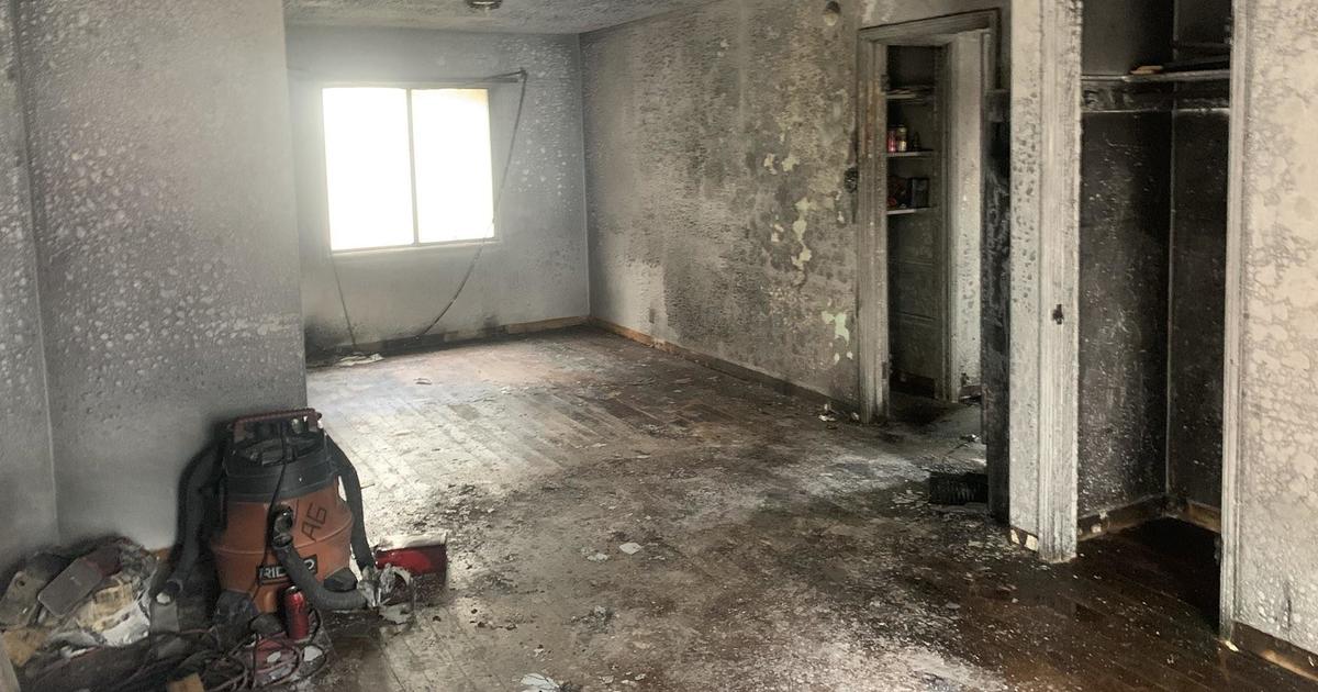
Four people have been injured in the Caldor Fire, two first responders and two civilians. At least 650 structures have been destroyed, including 469 homes, Cal Fire said. More than 18,000 structures remain threatened.
Numerous evacuation orders remain in effect Saturday, all in El Dorado County:
- Grizzly Flat: The areas on Grizzly Flats Road east of Kendra Way into Grizzly
- Flats Proper. The areas of Diamond Railroad Grade, Old School House, Sweeney Road, Caldor Road, and Steely Ridge.
- Grizzly Flats Road east of four corners in somerset into Grizzly Flats Proper.
- The areas of Myers Lane, Varmet Ridge Road, Rodwell Canyon Road, Snowbird Lane, and Mehwald Lane.
- East of Sly Park Road between Highway 50 and Mormon Emigrant Trail to Ice House Road. This includes the communities of Pacific House and Fresh Pond.
- North of Highway 50, east of Forebay Road to Ice House Road.
- Intersection of Perry Creek and Hawk Haven, the East side of Fairplay Road from Perry Creek South to Cedarville Road. This includes Slug Gulch, Omo Ranch, and all roads off of Slug Gulch and Omo Ranch.
- All roads off of Omo Ranch from Cedarville Road to Hwy 88.
- The area between Highway 88 and Mormon Emigrant Trail
- South of Highway 50 from Snows Road to Ice House Road.
- Between Highway 50 and Slab Creek from Snows Road to Ice House Road.
- South of Highway 50 from Ice House Road to Silver Fork Road. This includes the community of Kyburz.
- North of Highway 50 from Ice House Road to Silver Fork Road to include Ice House Reservoir, Union Valley Reservoir, and Loon Lake.
- Silver Fork Road in Kyburz east to Twin Bridges.
- North and south in a line extending from Twin Bridges to the Placer County line and south to the Amador County line.
- Areas south of Farnham Ridge Road and east of Bridgeport School Road to the Amador County line.
- From Twin Bridges east to Echo Summit.
- From Highway 50 South to Amador/ Alpine County Line.
- From Highway 50 North to Flag Pole Peak.
- Pleasant Valley Road and all intersecting roads extending south from Newtown Road to the intersection of E-16 (Mt Aukum Road).
- All roads accessed from E-16 (Mt Aukum Road) between Pleasant Valley Road and Bucks Bar Road.
- This includes all roads and residences accessed from Moon-Shadow and Gopher Hole Road off Bucks Bar Road.
Meanwhile, evacuation warnings are in effect for parts of Amador, El Dorado and Alpine counties. A full list can be found here.
Highway 50 continues to be closed from the Sly Park Road exit to the Highway 89 interchange in Meyers.
The fire, which was first reported on August 14 near the community of Grizzly Flats, is not expected to be fully contained until at least September 8. Officials said the cause is under investigation.
© Copyright 2021 CBS Broadcasting Inc. All Rights Reserved. The Associated Press contributed to this report.