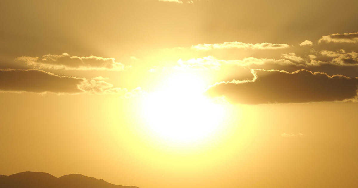
Temperatures To Soar To Record Levels; Are You Ready For The Heat?
SAN FRANCISCO (CBS SF) -- A ridge of high pressure stalled over Northern California triggered hot, gusty winds early Tuesday that sent temperatures soaring as much as 24 degrees warmer than they were just 24 hours earlier.
National Weather Service reported gusts as high as 75 mph in the predawn hours.
"Gusts as of 3 a.m. were peaking between 45 to 60 mph at our typically windy spots like Mt Diablo, Mt St Helena West, Mt Umunhum, and Healdsburg Hills," the weather service said. "Thus far, the strongest gust we had was 75 mph at Mt St Helena West which occurred between the midnight to 1 a.m. hour."
The winds were drying out hills already parched from a lack of rain over the last two months -- a possible precursor for an active wildfire season in 2022.
The gusty breezes were also quickly driving temperatures up.
"All the inland valleys where you will feel the wind coming off the hills this morning, the down sloping winds have really warmed you up," said KPIX meteoroglist Darren Peck.
Weather Service forecasters predicted as the day unfolded, temperature records could fall across the Bay Area even with the gusty winds subsiding.
"We continue to expect highs in the 70s and 80s across much of our region," the forecasters said. "That equates to temps being 10 to 20 degrees above normal and we could have some records broken this afternoon."
"With this forecast package," they continued. "The sites that look to be near or record-breaking include: Richmond, SFO, Redwood City, Half Moon Bay, Downtown Oakland, San Jose, Gilroy, Salinas, Monterey, and King City...We expect the North Bay valleys to be one of our warmest areas."
The spike in temperatures was not expected to linger. The ridge will weaken significantly by Thursday.