Atmospheric River UPDATE: Evacuations Ordered In Carmel; Orders Downgraded To Warnings In Santa Cruz County
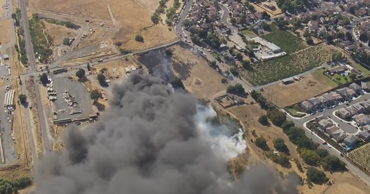
BOULDER CREEK (CBS SF) -- A potent plume of intense rainfall settled over the Santa Cruz Mountains and Monterey County early Thursday, dumping as more than 1 inch of rain an hour just before daybreak, elevating fears of devastating and deadly mudslides, especially in the 86,500-acre burn zone left from last fall's CZU Complex Lightning Fire.
UPDATE: At 10 a.m. Thursday, following a flood warning, the Monterey County Sheriff's Office ordered mandatory evacuations for residents in the Carmel River Lagoon area, including all roads south of Santa Lucia Avenue and Mission Fields.
County officials told residents to leave the area immediately.
"Homes are being flooded as Carmel River flow backs up at the Carmel Lagoon near Carmel River State Beach," officials said.
More than 5,000 people woke up Thursday still unable to return to their Santa Cruz Mountain homes, evacuated days before as a precaution when the storms approached. Around 10:30 a.m. Thursday the Santa Cruz Sheriff's Office downgraded the evacuation orders to warnings.
Santa Cruz County Evacuation Map
The National Weather Service has a Flash Flood Watch in effect for the region through Thursday afternoon.
"Soils are becoming increasingly saturated so both debris flow and minor rock/mudslides will become increasingly likely where moderate to heavy rain rates occur," weather service forecasters said.
KPIX 5 Weather Center: Current Conditions, Maps, Forecasts For Your Area
A winter storm front, fueled by an atmospheric river of moisture, rolled into the region late Tuesday night. It moved south Wednesday morning, triggering mudslides in the burn zone of the River Fire in Monterey County, but left the Santa Cruz Mountains under relatively dry skies.
RELATED:
- Atmospheric River: Authorities Warn Evacuated Santa Cruz Mountain Residents To Stay Away
- Mudslides Damage Up To 2 Dozen Structures In Monterey County; Flash Flood Warning Issued
- Atmospheric River: Napa County Re-Issues Flood Watch Through Thursday Night
- Atmospheric River Brings Touches Of Snow to the Bay Area, Cold Weather Lets It Stick
On Wednesday night, the storm front once again pivoted north, bringing steady rain to the mountains and San Jose overnight.
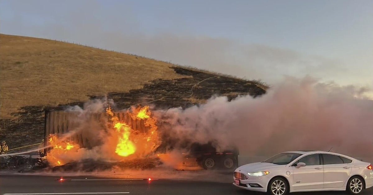
Cal Fire said the high-risk areas were still in danger until the intense rain stops, especially considering what happened Wednesday south of Salinas where a river of mud and water buried homes and barns.
The debris came rushing down the mountains from the River Fire burn scar in Monterey County. It's still possible something similar could happen in the Santa Cruz mountains.
Many mountain residents did remain in their homes Wednesday but were looking forward to a sleepless night.
"It's still really scary," Felton resident Elizabeth Ellison told KPIX 5.
Ellison was not among those evacuated but was still worried about high winds bringing down trees in her neighborhood.
"I know a few people are out of their houses and I'm totally fortunate," said Dave Butler who lives in Ben Lomond. "I feel sorry for them."
Cal Fire Battalion Chief Nate Armstrong said he understood as some evacuees became frustrated during Wednesday afternoon's lull, but the threat remains.
"We understand that people are probably starting to get frustrated, especially now that there has been some lulls in the storm," said Armstrong. "We had isolated flooding, isolated small mudslides, rock slides. It's a very small scale, but it's definitely an indicator that the potential is still there."
The storm was expected to drop down into Southern California on Thursday, the weather service said, bringing several inches of rain and concerns over burn areas around Los Angeles, as well as several feet of snow to high elevations of the region's mountains.
The atmospheric river is part of a major change in weather for California, which had significant drought conditions for months. The dryness contributed to wildfires that scorched more than 4.2 million acres in 2020, the most in recorded modern history.